Public domain photos
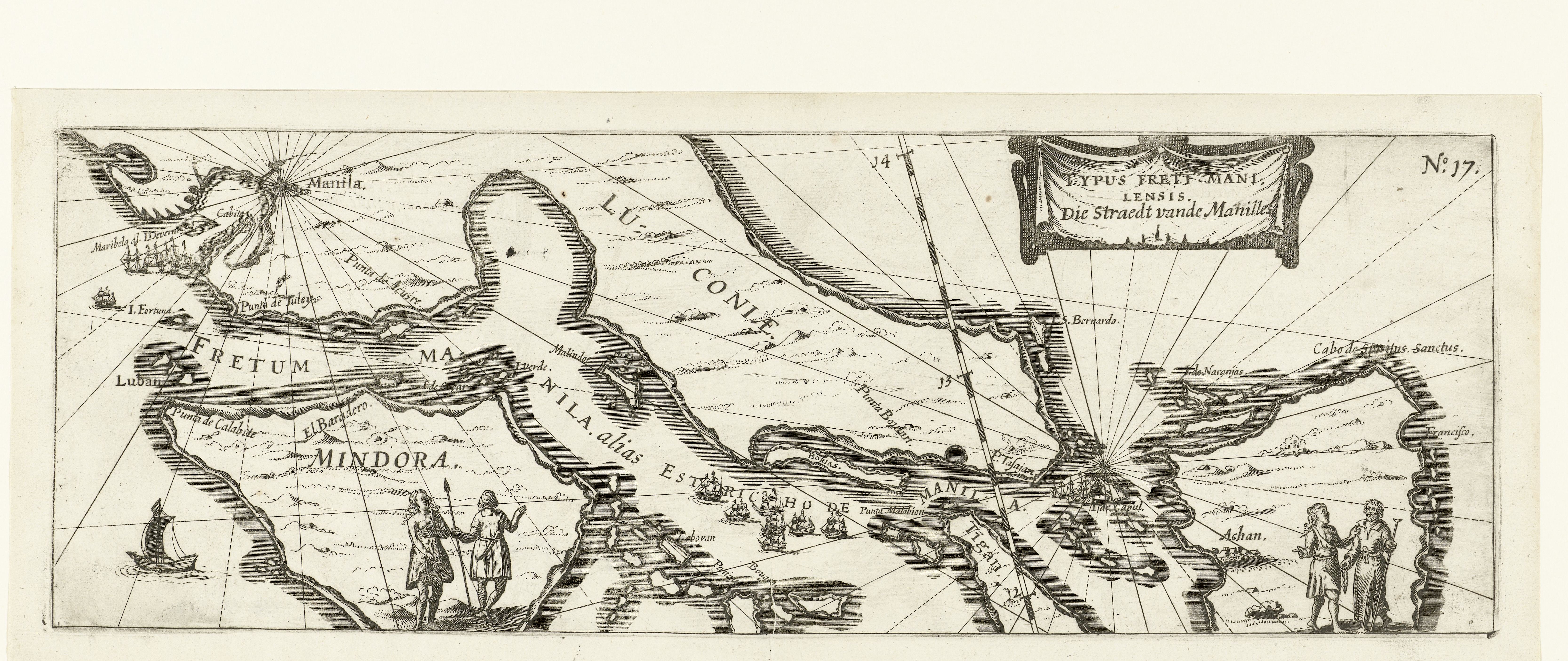
The image shows a black and white drawing of a map of the British Virgin Islands, with a few people standing in the foreground. The map is detailed and shows the various geographical features of the islands, such as rivers, mountains, and cities. The people in the drawing are wearing traditional clothing and appear to be looking at the map intently.
 Open in library