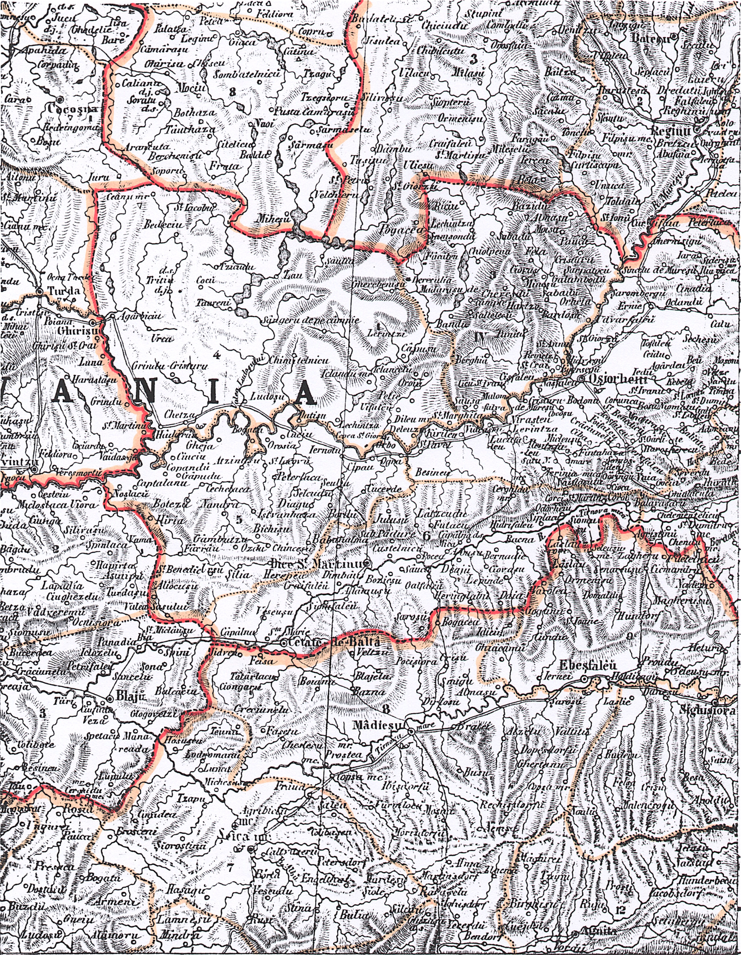
The image shows a black and white map of the British Empire in the 19th century, with text at the top and bottom of the image.
Read full description
The image shows a black and white map of the British Empire in the 19th century, with text at the top and bottom of the image. It is a detailed map, showing the various provinces and their capitals, as well as the names of the cities and towns within them.