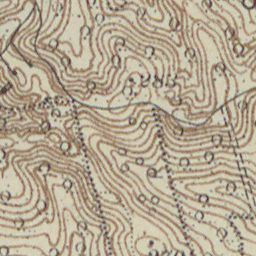
The image shows an old topographic map of the area, which is a topographical representation of the land.
Read full description
The image shows an old topographic map of the area, which is a topographical representation of the land. It is a detailed map that shows the contours of the terrain, such as mountains, valleys, and ridges, as well as the elevation changes that make up the area. The map also shows the various elevations and points of interest, such in the mountains and valleys.