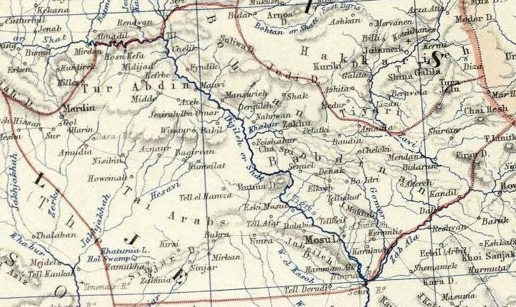
The image shows an old map of the Middle East with a river running through it.
Read full description
The image shows an old map of the Middle East with a river running through it. The map is detailed and shows the various cities, towns, and other geographical features of the region. The river is winding its way through the center of the map, surrounded by lush green hills and valleys. The colors used on the map are mostly shades of green, brown, and yellow, giving it a warm and inviting feel.