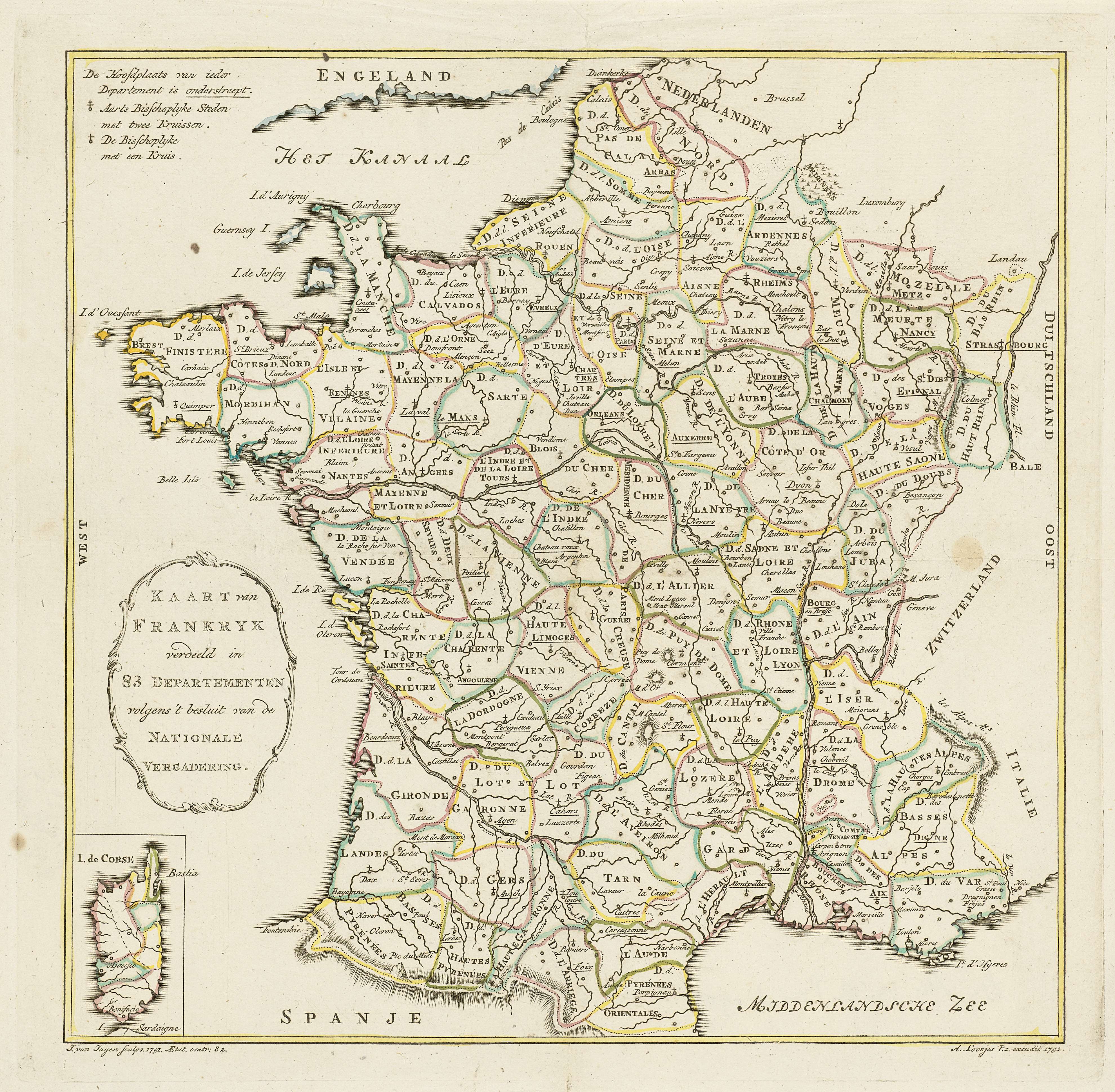
The image shows an old map of France with the provinces of the provinces and their capitals.
Read full description
The image shows an old map of France with the provinces of the provinces and their capitals. The map is printed on a paper with text at the top and bottom. It is a detailed map of the country, showing the various roads, cities, and other geographical features of the region.