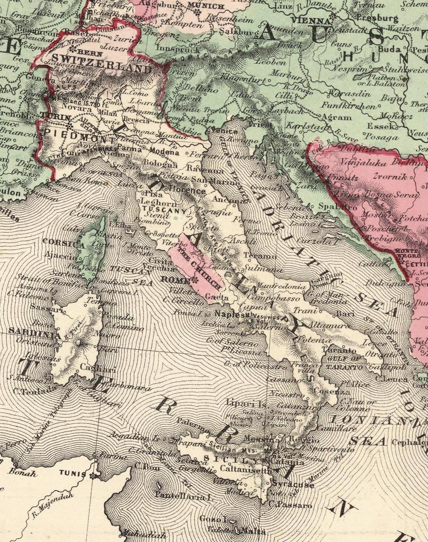
The image shows an old map of Italy from the 19th century.
Read full description
The image shows an old map of Italy from the 19th century. It is a detailed map, showing the various cities, towns, rivers, and other geographical features of the region. The colors used are mostly shades of blue, green, and yellow, with some red and white accents. The map is filled with intricate lines and shapes, giving it a realistic look.