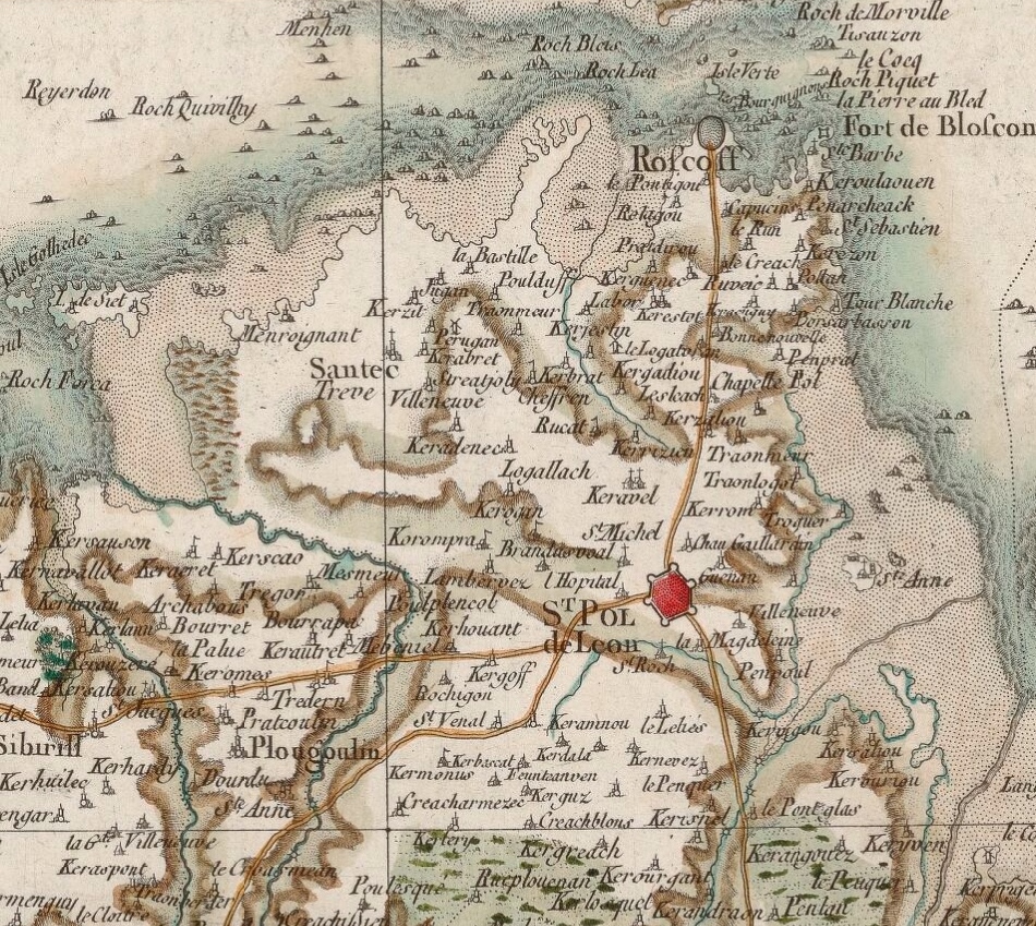
The image shows an old map of the British Isles with a red dot in the center.
Read full description
The image shows an old map of the British Isles with a red dot in the center. The map is detailed and shows the various geographical features of the area, such as rivers, mountains, and cities. The red dot stands out against the white background of the map, making it easy to identify the exact location.