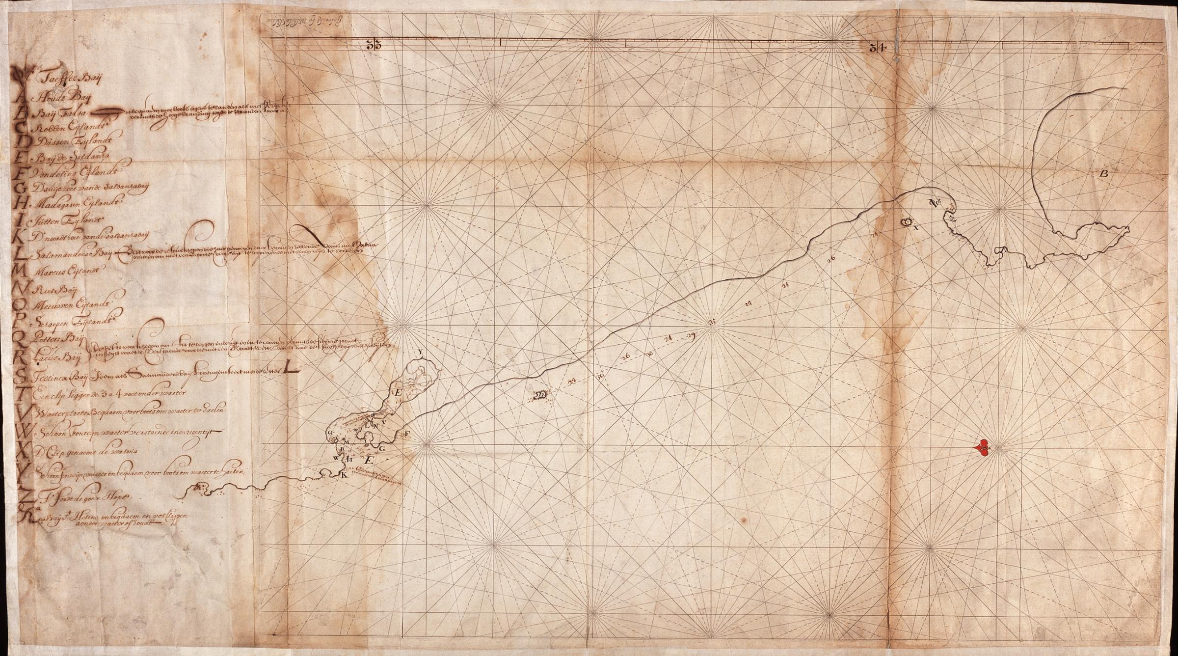
The image shows an old map with a red dot in the middle of it, set against a dark background.
Read full description
The image shows an old map with a red dot in the middle of it, set against a dark background. The map is from the 17th century and is believed to be a map of the British Virgin Islands. The text on the paper is likely a description of the map, providing further details about the islands.