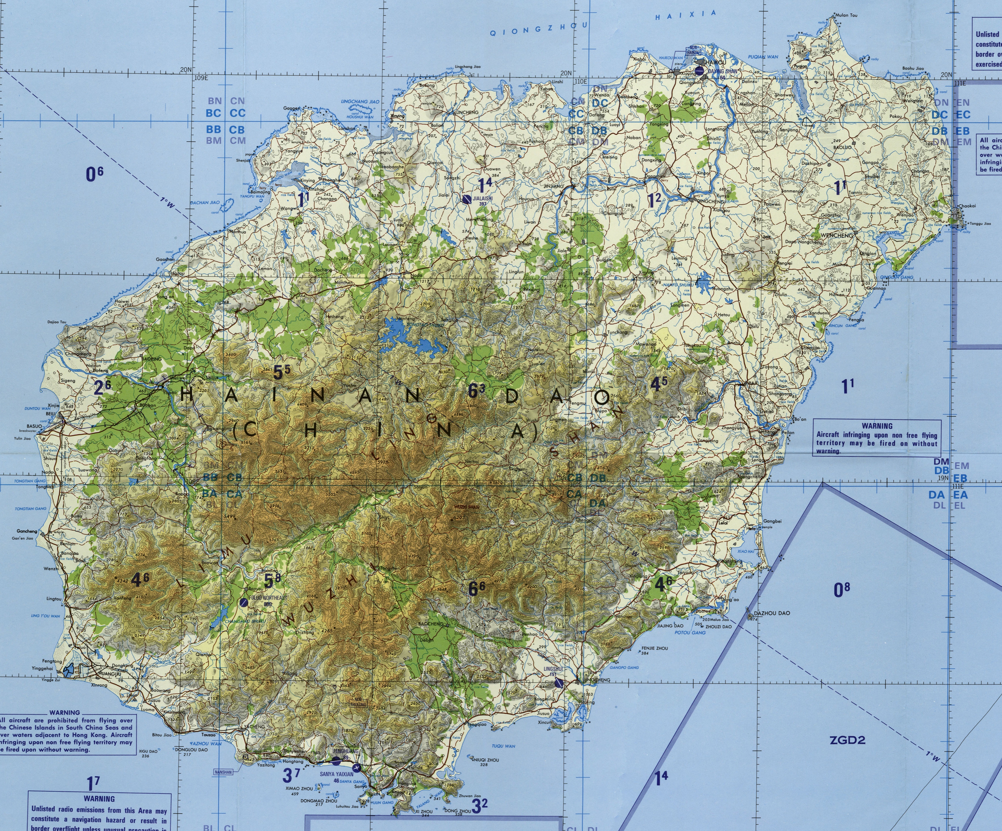
The image shows a topographic map of the island of Madeira, Portugal.
Read full description
The image shows a topographic map of the island of Madeira, Portugal. It is a detailed map with various features such as roads, cities, and bodies of water clearly visible. The map also includes labels for the various elevations and elevations, as well as a legend to help identify the different elevations.