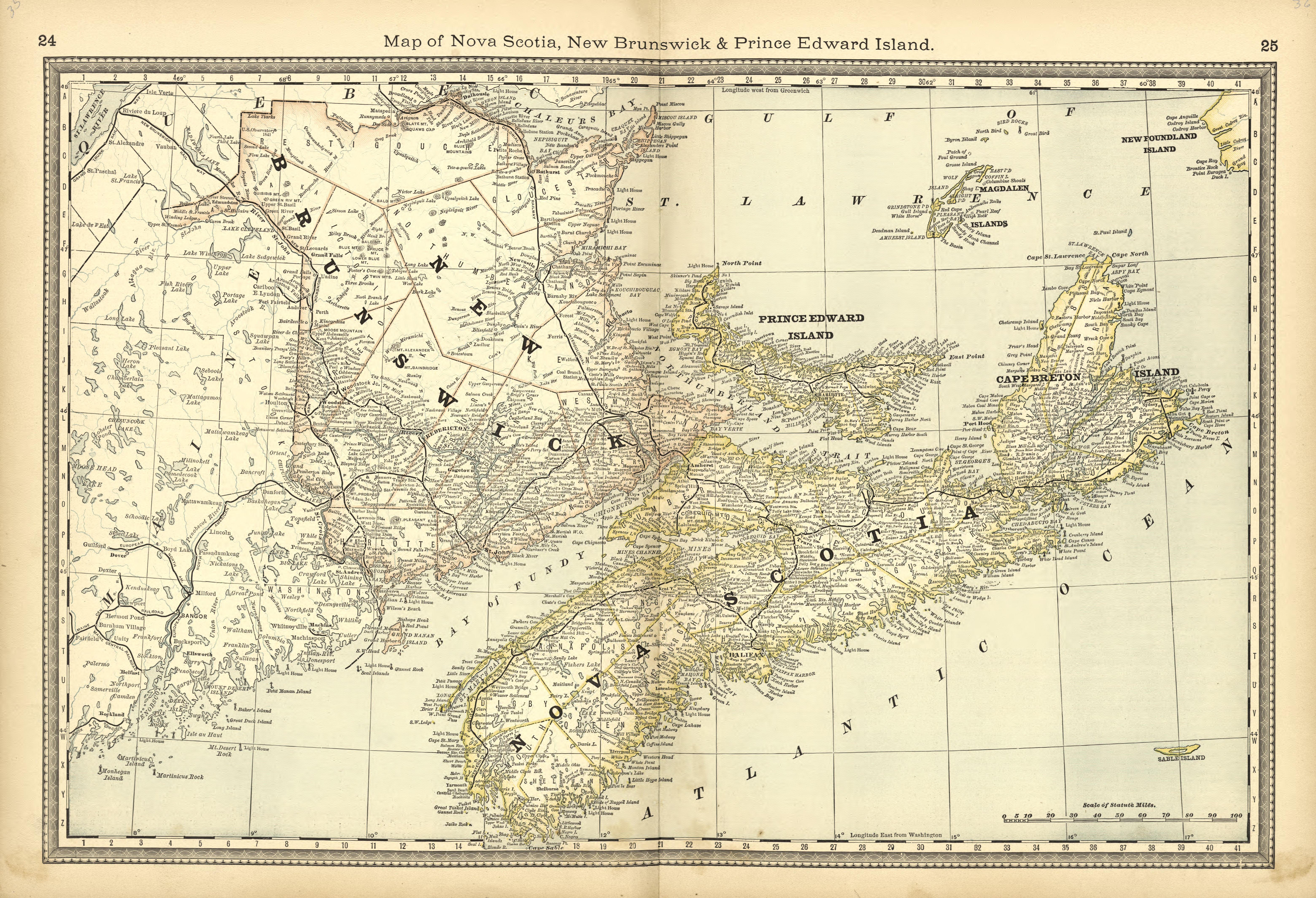
The image shows an old map of Nova Scotia, New Brunswick, and Prince Edward Island.
Read full description
The image shows an old map of Nova Scotia, New Brunswick, and Prince Edward Island. It is a detailed map, showing the various geographical features of the region, such as rivers, mountains, and cities. The map is printed on a paper, giving it a classic look.