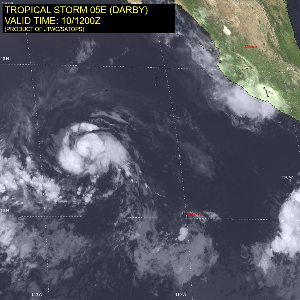
The image shows a satellite view of Tropical Storm Dorby in the Gulf of Mexico.
Read full description
The image shows a satellite view of Tropical Storm Dorby in the Gulf of Mexico. The sky is filled with dark, swirling clouds, and the storm is visible in the center of the image. On the right side of the satellite image, there is a map of the region, and at the top and bottom of the picture, there are words and numbers indicating the date and time of the storm.