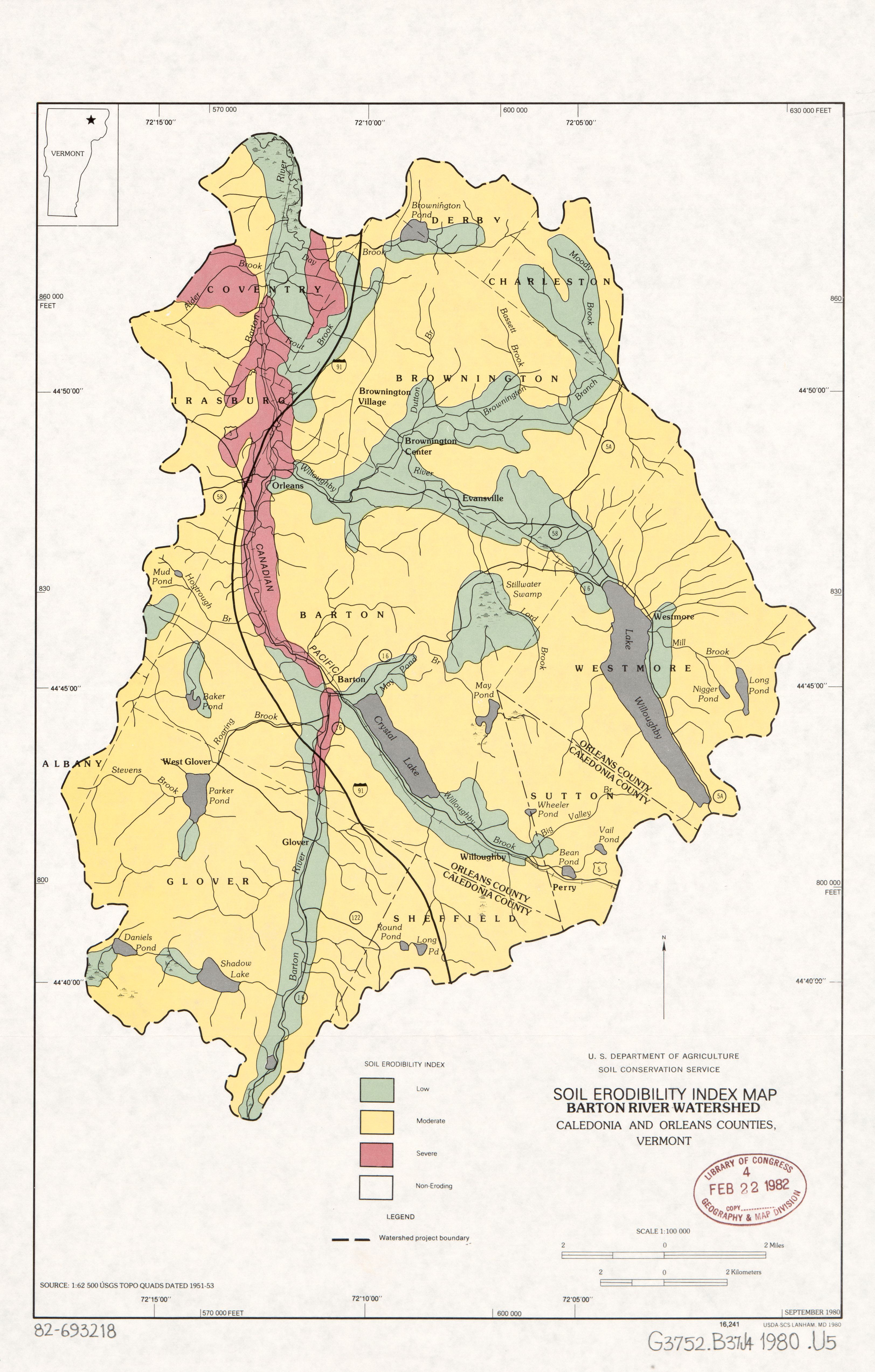
The image shows a poster with a map of the state of Vermont, highlighting the soil erosion index.
Read full description
The image shows a poster with a map of the state of Vermont, highlighting the soil erosion index. The map is filled with various shades of green, indicating the different levels of erosion in the area. The text on the poster provides additional information about the soil, such as the type of erosion, the amount of land that has been affected, and the estimated time it will take to assess the severity of the erosion.