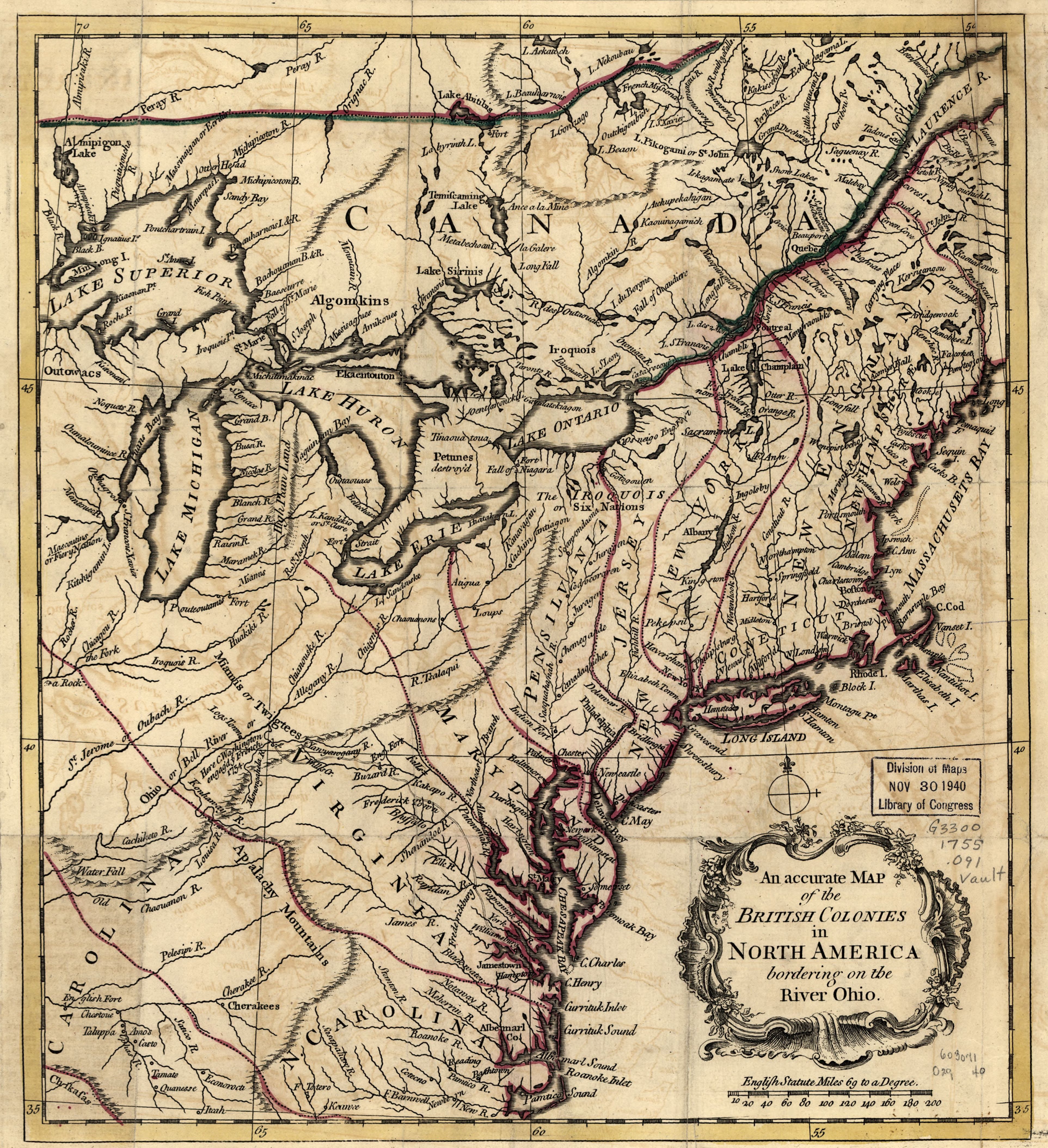
The image shows an accurate map of the British colonies of North America, with text detailing the various states and their borders.
Read full description
The image shows an accurate map of the British colonies of North America, with text detailing the various states and their borders. It is a detailed map, showing the various geographical features of the region, such as rivers, mountains, and cities, as well as the major cities and bodies of water. The map is printed on a paper, giving it a classic look.