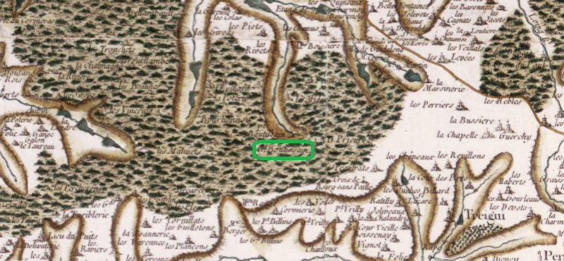
The image shows an old map of the British Isles with a green circle in the middle, which is believed to be the location of the Battle of Bordeaux.
Read full description
The image shows an old map of the British Isles with a green circle in the middle, which is believed to be the location of the Battle of Bordeaux. The map is detailed and shows the various geographical features of the area, such as rivers, mountains, and cities, as well as the surrounding landscape. The green circle is likely a representation of the battle, and the text on the map likely provides further information about the battle.