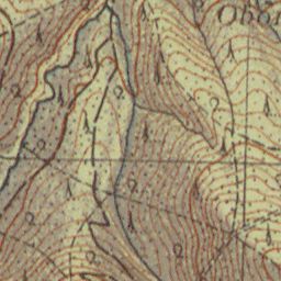
The image shows an old topographic map of the area, which is a topographical representation of the terrain.
Read full description
The image shows an old topographic map of the area, which is a topographical representation of the terrain. It is a detailed map that shows the various elevations and contours of the land, as well as the elevation changes that make up the area. The map is filled with intricate lines and shapes that represent the different elevations, such as mountains, valleys, and ridges. The colors used in the map are mostly shades of brown and beige, giving it a vintage feel.