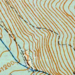
The image shows a topographic map of the area with a blue line in the middle, which is the location of the proposed site.
Read full description
The image shows a topographic map of the area with a blue line in the middle, which is the location of the proposed site. The map is zoomed in, allowing us to see the intricate details of the terrain, such as the ridges and valleys that make up the area. The blue line is likely a reference point for the site, providing a visual representation of its location.