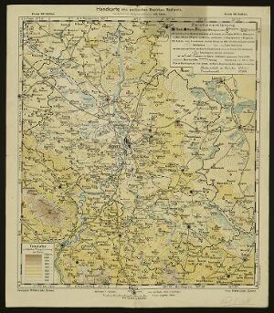
The image shows an old map of the British Empire in the 19th century, framed in a photo frame.
Read full description
The image shows an old map of the British Empire in the 19th century, framed in a photo frame. The map is of Poland, with the borders of the country clearly visible. The text on the map is likely a description of the region, providing further information about the country.