Read full description
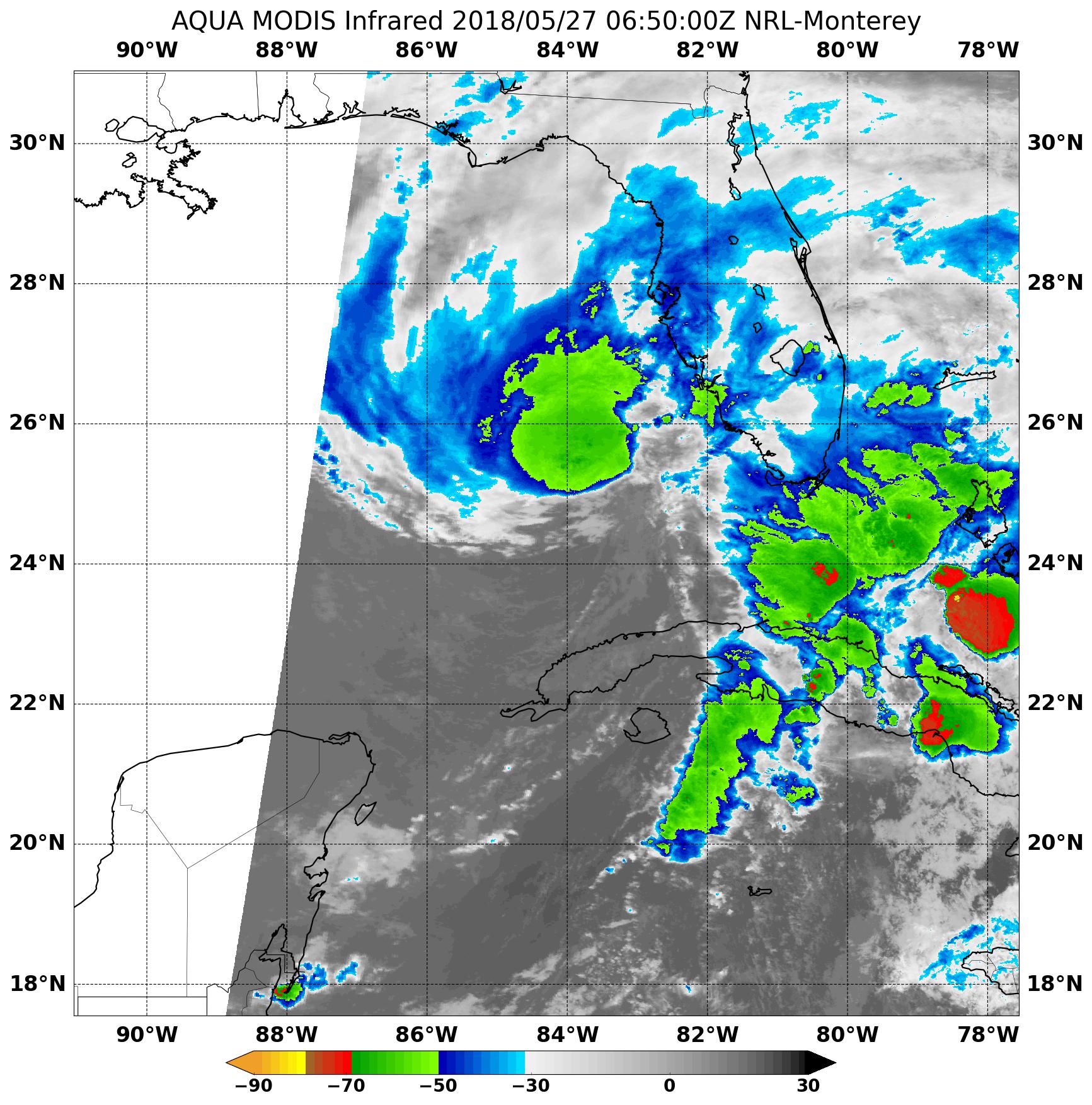
The image shows a satellite image of a tropical cyclone in the Gulf of Mexico, with the text "Aqua Modis Infrared 2018/05/27" at the top and bottom of the image. The map displays the intensity of the cyclone, with darker colors indicating higher intensity and lighter colors indicating lower intensity.