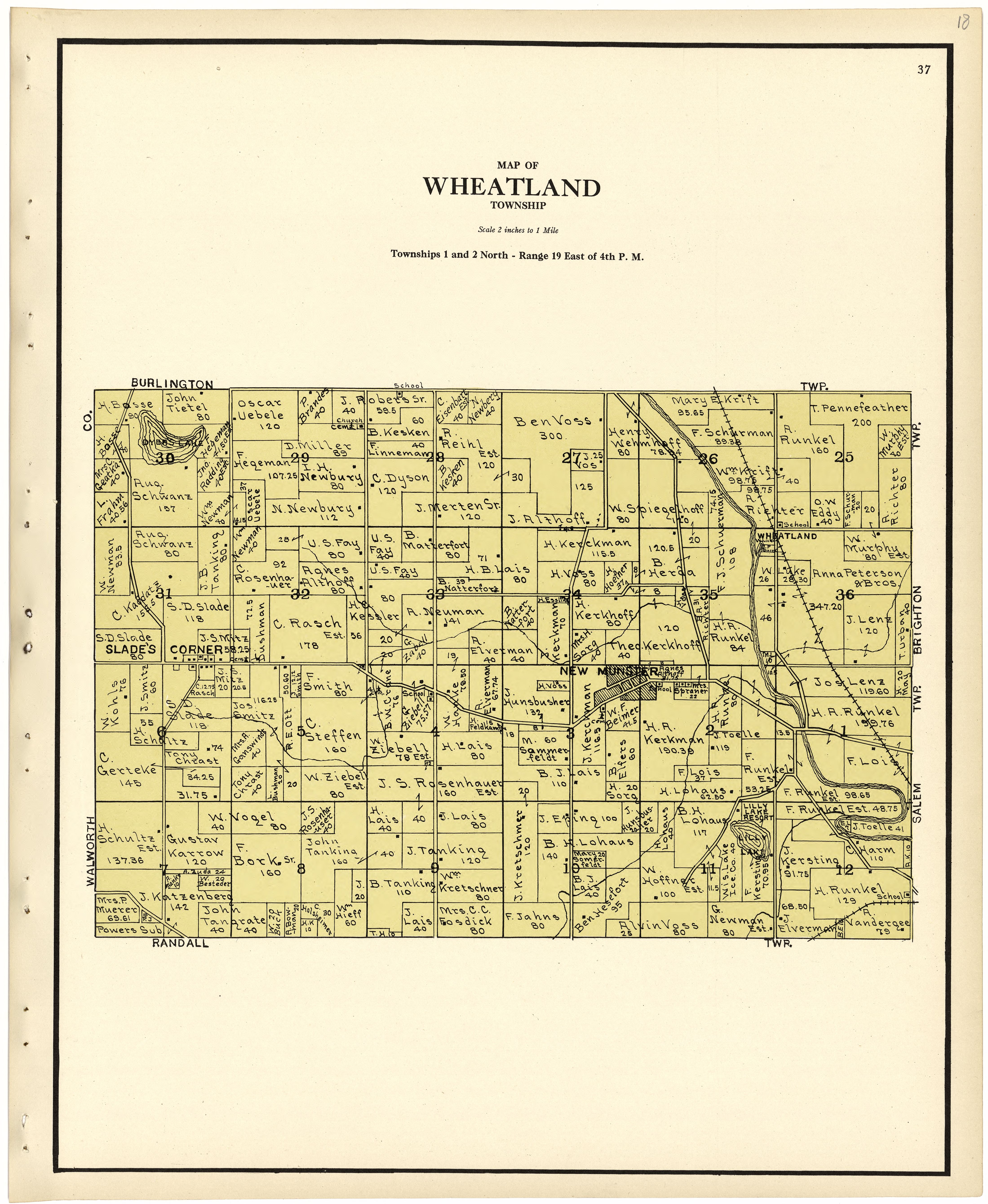
The image shows an old map of Wheatland Township, Illinois from 1876.
Read full description
The image shows an old map of Wheatland Township, Illinois from 1876. It is a detailed map with text at the top and bottom of the image. The map is filled with intricate lines and shapes, showing the streets, parks, and other landmarks of the town.