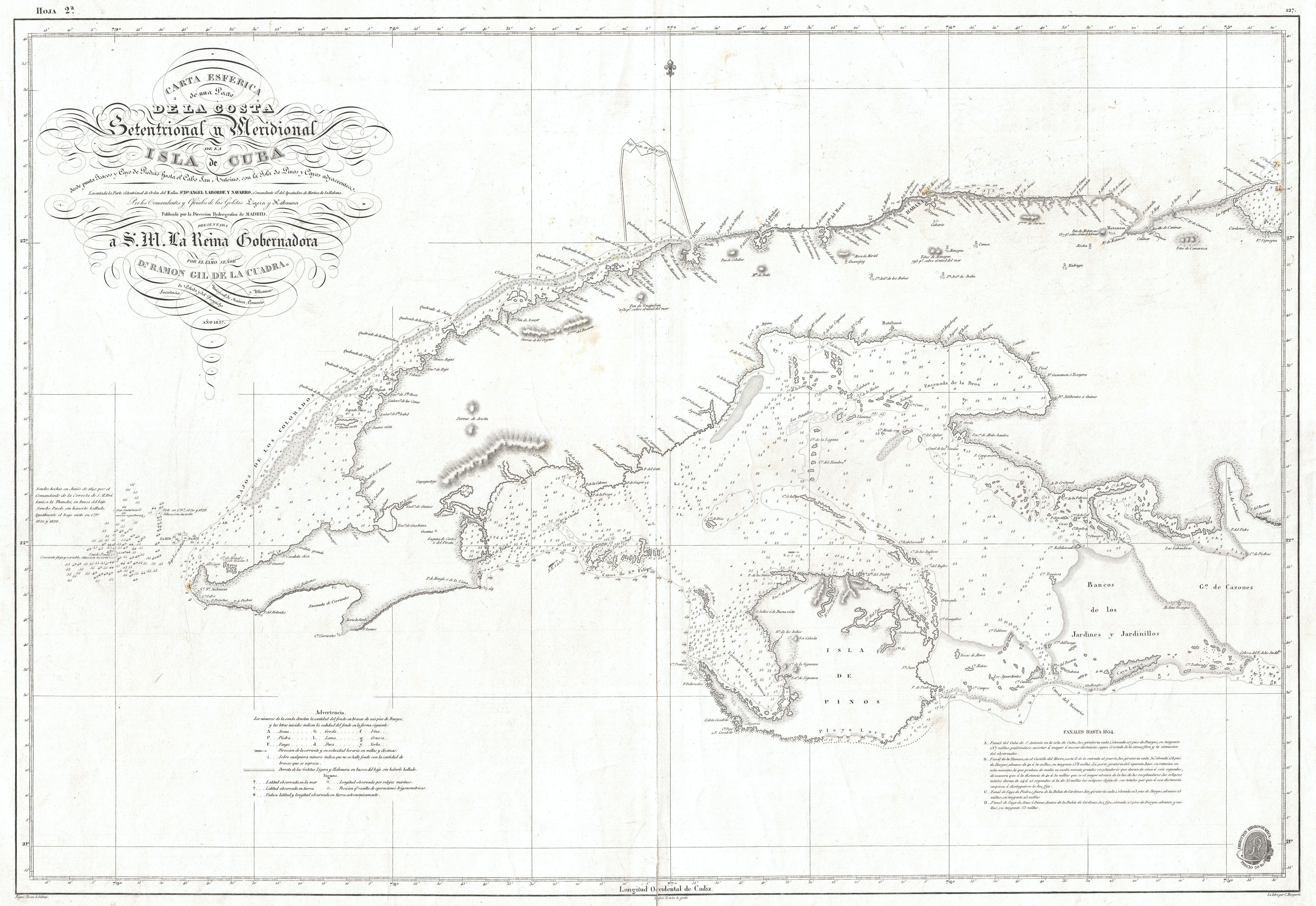
The image shows a map of the British Virgin Islands, with the island of St.
Read full description
The image shows a map of the British Virgin Islands, with the island of St. Lucia in the center. The map is framed in a photo frame, giving it a classic look. The island is surrounded by a body of water, with a few islands visible in the distance. The colors used in the map are mostly shades of blue and green, with some yellow and white accents. The text on the map is written in a bold font, making it easy to read.