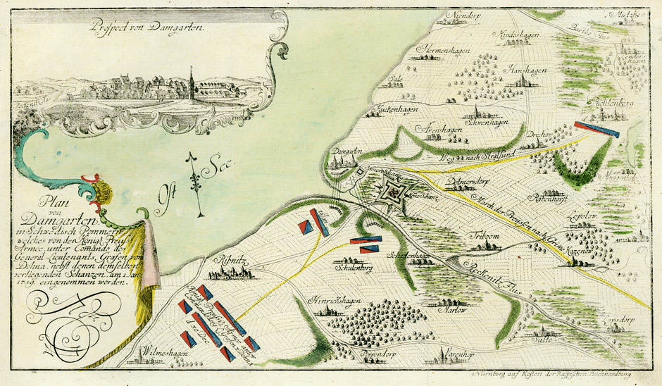
The image shows a map of the battle of Damgarten in the 17th century, with text written on it detailing the siege of the city.
Read full description
The image shows a map of the battle of Damgarten in the 17th century, with text written on it detailing the siege of the city. The map is detailed, showing the various cities and towns that were involved in the battle, as well as the extent of the siege. The text on the map provides further information about the siege, such as the names of the cities and the dates of the events that took place.