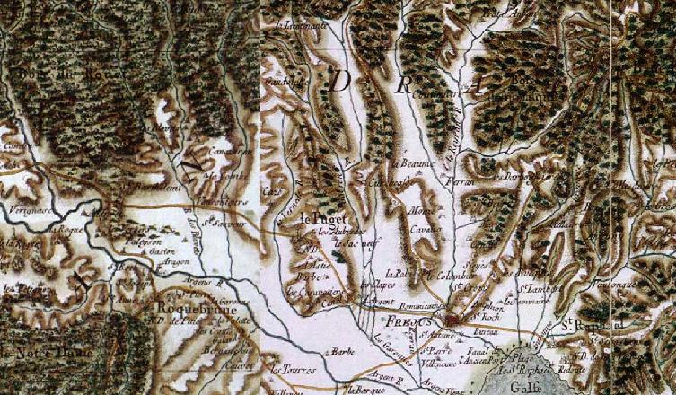
The image shows an old topographic map of the French Alps, depicting the topography of the area.
Read full description
The image shows an old topographic map of the French Alps, depicting the topography of the area. It is a detailed map, showing the various elevations and contours of the terrain, as well as the various cities and towns within the region. The map is filled with intricate details, such as mountains, rivers, and other geographical features, all of which are labeled with their names.