Public domain photos
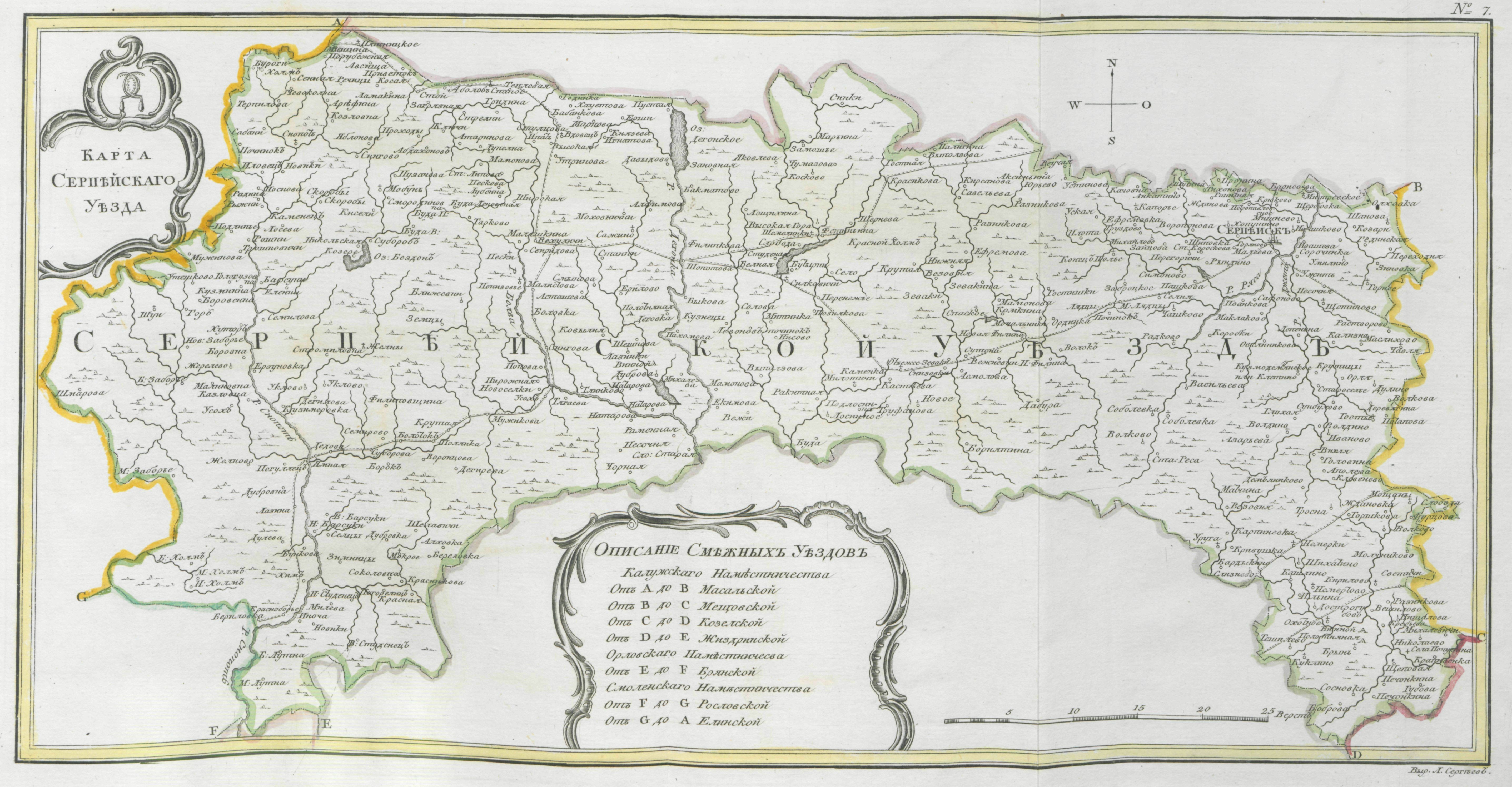
The image shows a map of the provinces of Ukraine, with text and numbers on a paper. The map is detailed, showing the various provinces and their borders. The text on the paper provides additional information about the map, such as the names of the cities, towns, and other geographical features.
 Open in library