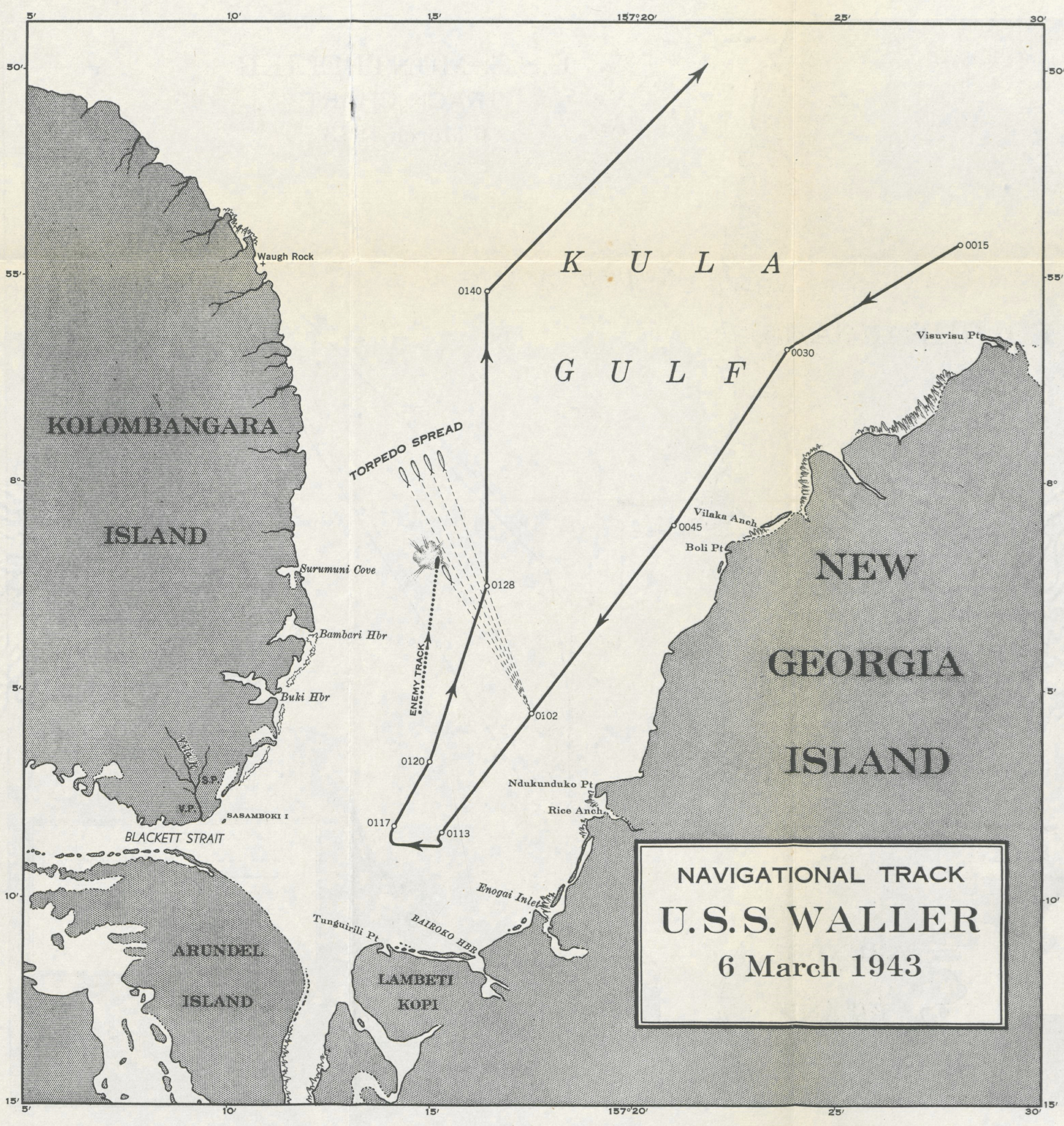
The image shows a paper with a map of the U.S.
Read full description
The image shows a paper with a map of the U.S. Navy's navigation track for the Gulf of Mexico. The map is detailed and shows the various islands and bodies of water that make up the track. The text on the paper provides additional information about the track, such as its length, width, and depth.