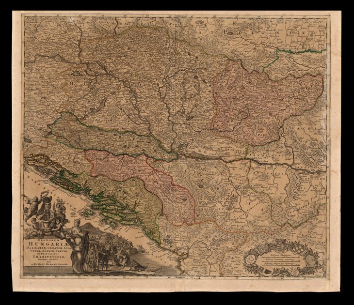
The image shows a map of Hungary and Hungary in the 16th century, with a black background.
Read full description
The image shows a map of Hungary and Hungary in the 16th century, with a black background. The map is detailed and shows the borders of the two countries, as well as the extent of the British Empire. There are also pictures and text on the map, likely providing further information about the region.