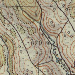
The image shows an old topographic map of the area, which is believed to be a topographical map from the early 20th century.
Read full description
The image shows an old topographic map of the area, which is believed to be a topographical map from the early 20th century. It is a top view of the map, showing the contours of the terrain and the various elevations of the land. The map is filled with intricate details, such as mountains, valleys, and ridges, and is likely used to provide a detailed look at the area.