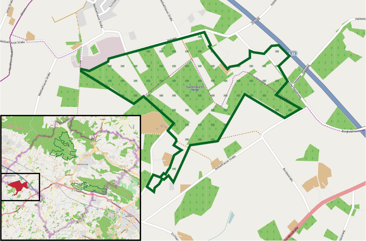
The image shows a map of a city with a green area in the middle of it.
Read full description
The image shows a map of a city with a green area in the middle of it. The green area is likely the location of the proposed site, as indicated by the text at the bottom of the image which reads "Südenschafts-Hender-Land-Planning-Map". The map is divided into two sections, with the top section showing the city's streets and landmarks, and the bottom section providing additional information about the area.