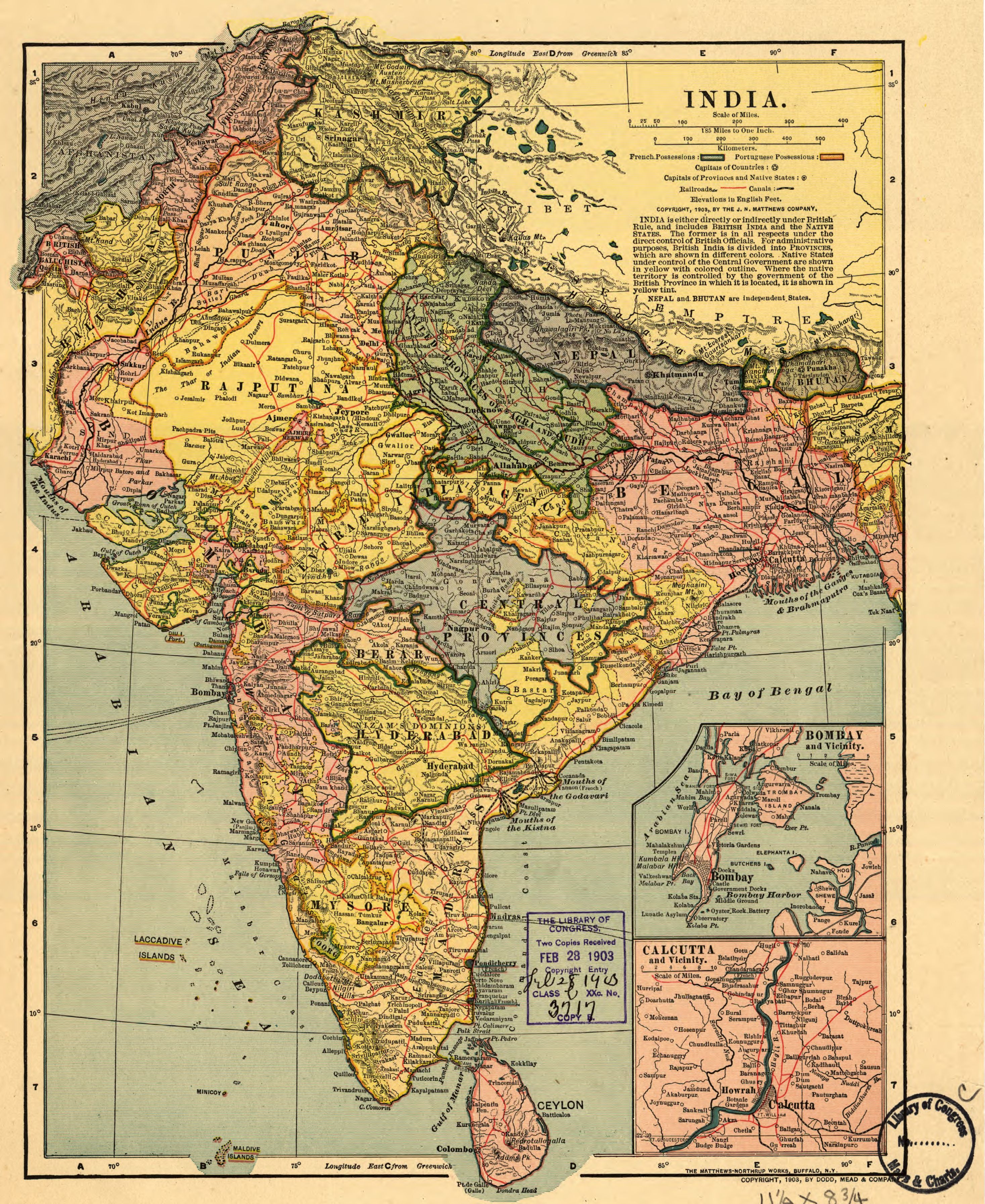
The image shows an old map of India with the provinces and their capitals, as well as text and a stamp.
Read full description
The image shows an old map of India with the provinces and their capitals, as well as text and a stamp. It is a detailed map of the Indian subcontinent, showing the various states and their borders. The text on the map provides additional information about the region, such as the names of cities, rivers, and other geographical features. The stamp adds a unique touch to the map, making it stand out from the rest of the image.