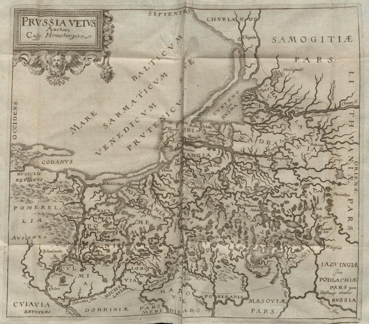
The image shows an old map of the British Isles, with text and a logo on the paper.
Read full description
The image shows an old map of the British Isles, with text and a logo on the paper. The map is detailed, showing the various geographical features of the region, such as rivers, mountains, and cities. The text on the map provides additional information about the region and its inhabitants.