Public domain photos
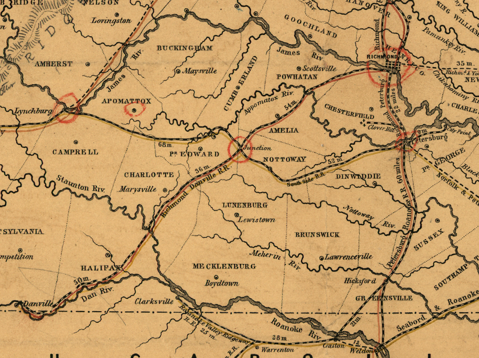
The image shows an old map of the Battle of Gettysburg, with the route of the Civil War clearly visible. It is a detailed map, showing the various cities, towns, and other geographical features of the area. The map is filled with intricate details, such as roads, rivers, and mountains, as well as the names of the towns and cities that were involved in the battle.
 Open in library