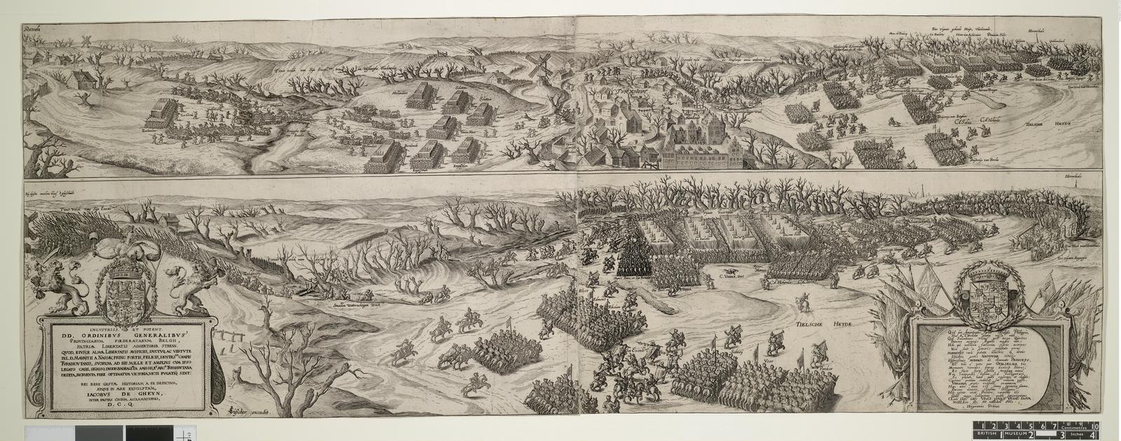
The image shows an old map of the city of London, England, with a drawing of a city in the middle of it.
Read full description
The image shows an old map of the city of London, England, with a drawing of a city in the middle of it. The map is from the 16th century and is titled "Map of the Battle of Waterloo". It is a detailed illustration of the town, with buildings, trees, people, and other objects depicted in black and white. At the bottom of the image, there is some text written on the paper.