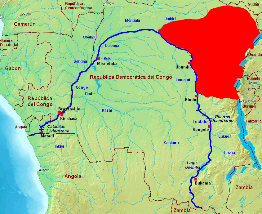
The image shows a political map of the Democratic Republic of Congo, with the country's borders clearly visible.
Read full description
The image shows a political map of the Democratic Republic of Congo, with the country's borders clearly visible. On the left side of the image, there is a body of water, and the map is colored in shades of green, blue, and red.