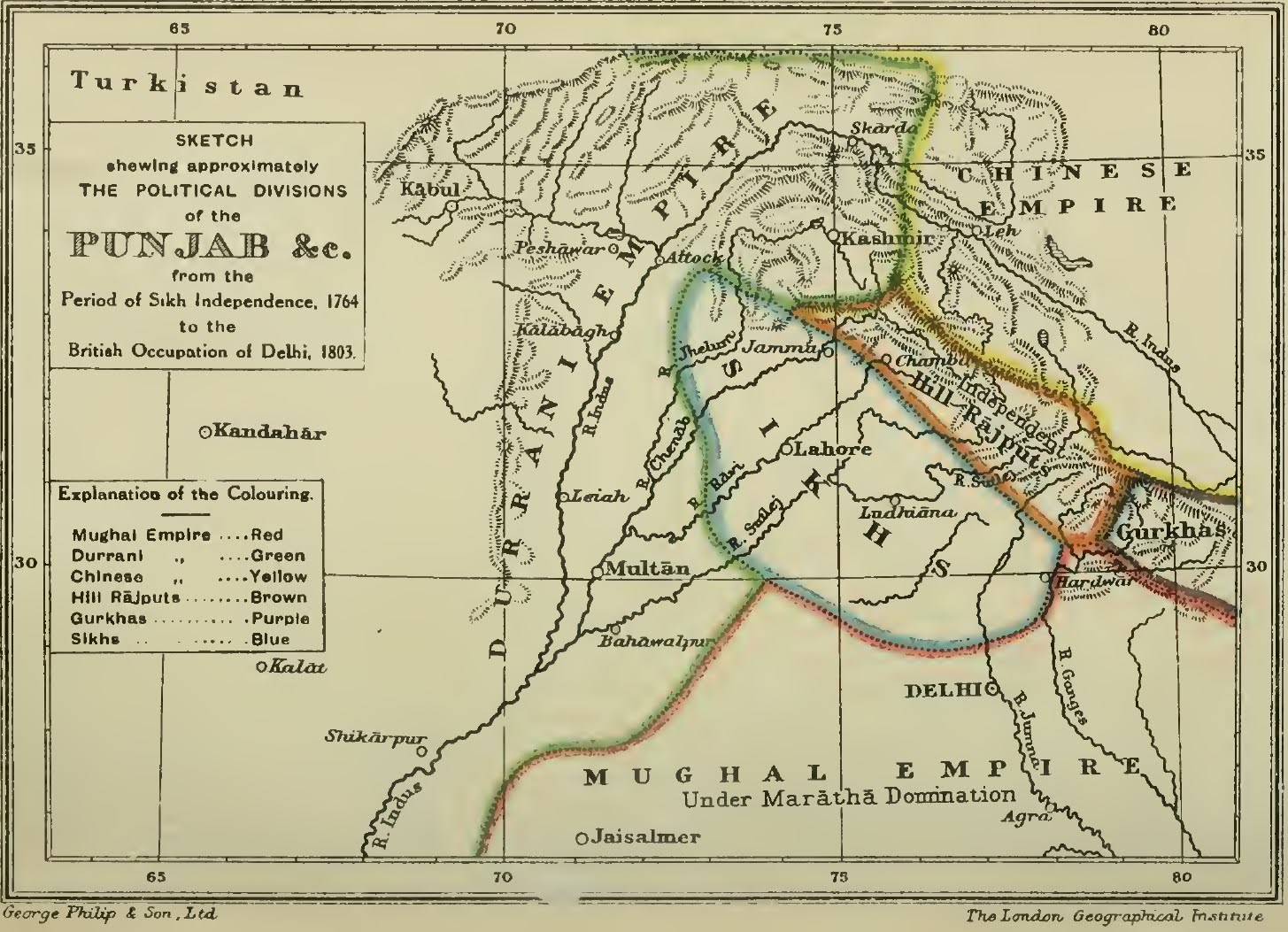
The image shows a map of the British Empire in the 19th century, depicting the political divisions of the Punjab and the Indian Empire.
Read full description
The image shows a map of the British Empire in the 19th century, depicting the political divisions of the Punjab and the Indian Empire. The map is printed on a paper with text detailing the various divisions of Punjab, including the provinces, cities, and other geographical features.