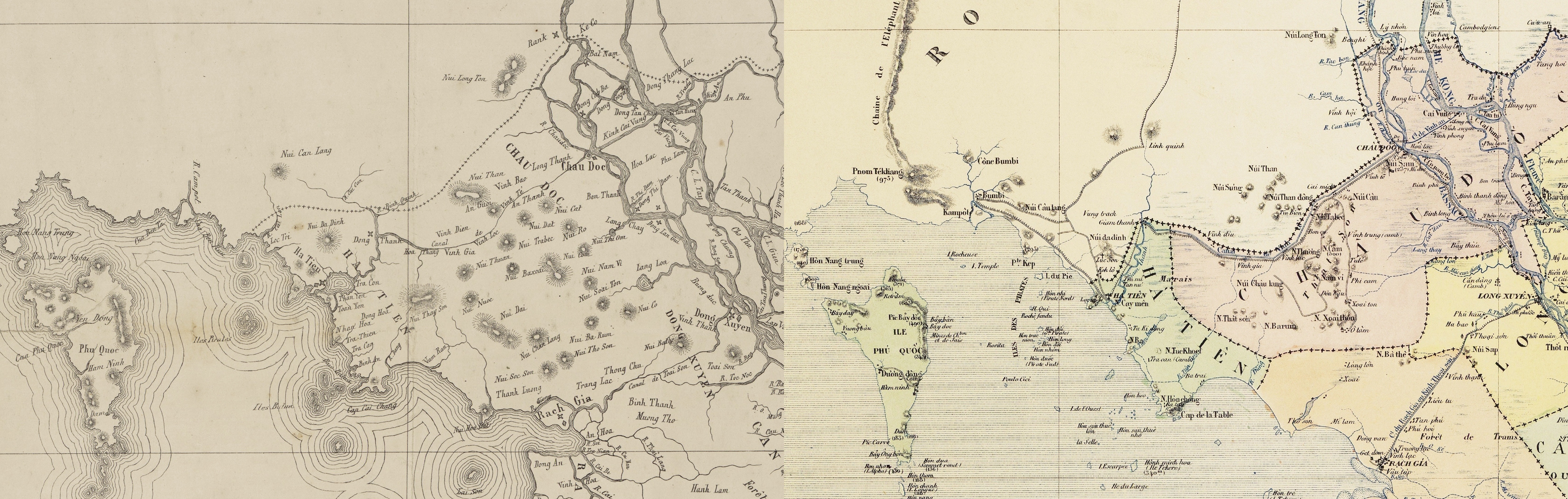
The image shows a topographic map of the British Isles and the British Virgin Islands, with two maps side by side.
Read full description
The image shows a topographic map of the British Isles and the British Virgin Islands, with two maps side by side. The top map is a topographical representation of the area, with text labels indicating the various features of the map, such as rivers, mountains, and cities. The bottom map is an old map, showing the contours of the land and the various elevations of the terrain.