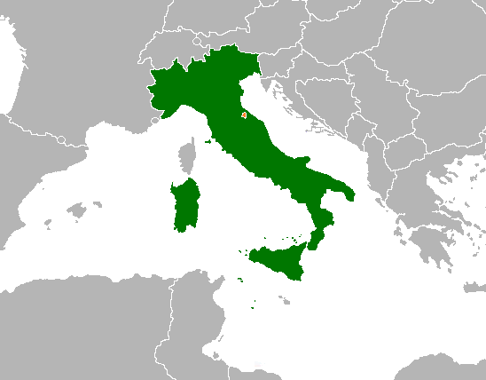
The image shows a map of Italy with the provinces highlighted in green.
Read full description
The image shows a map of Italy with the provinces highlighted in green. The map is filled with various shades of green, indicating the different regions of the country. The provinces are clearly visible, with each province having its own distinct shape and size. The green color of the provinces stands out against the white of the map, making it easy to distinguish between them.