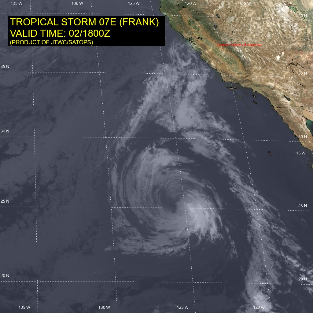
The image shows a satellite view of Tropical Storm Ote (Frank) in the Pacific Ocean, with a map of the region visible in the background.
Read full description
The image shows a satellite view of Tropical Storm Ote (Frank) in the Pacific Ocean, with a map of the region visible in the background. The text on the image provides additional information about the storm, such as its size, intensity, and location.