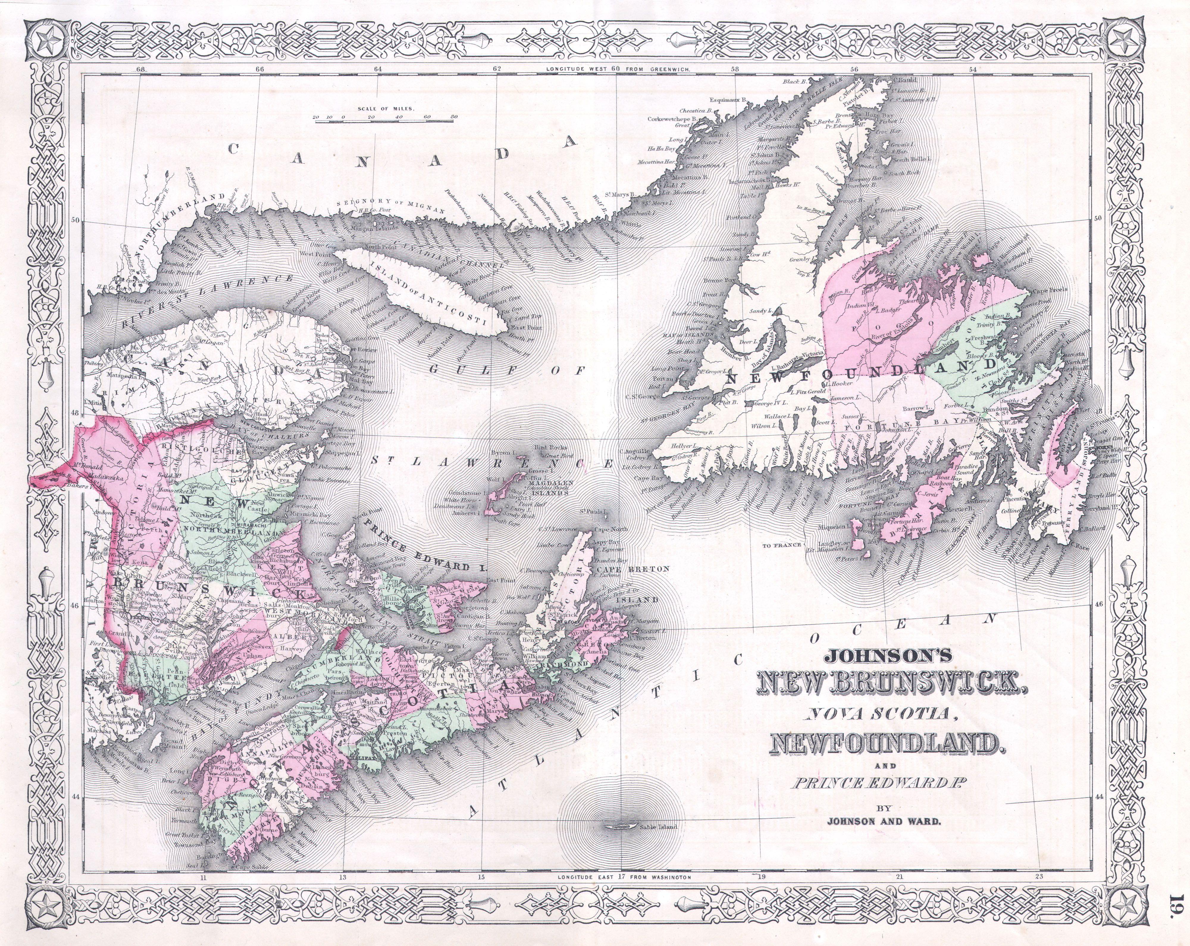
The image shows an old map of the British Isles, with Johnson's New Brunswick, Nova Scotia, Newfoundland, and Prince Edward Island clearly visible.
Read full description
The image shows an old map of the British Isles, with Johnson's New Brunswick, Nova Scotia, Newfoundland, and Prince Edward Island clearly visible. The map is framed with text, providing further details about the region.