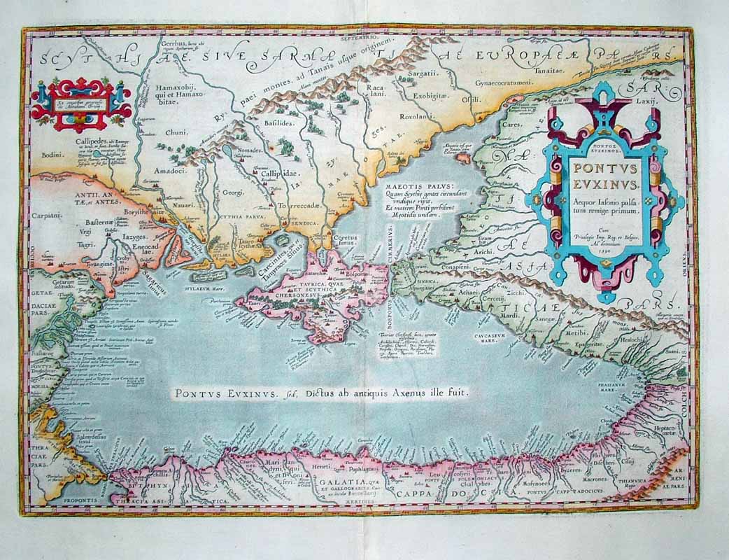
The image shows an old, original, antique map of the British Isles from the 16th century, depicting the extent of the Mediterranean Sea.
Read full description
The image shows an old, original, antique map of the British Isles from the 16th century, depicting the extent of the Mediterranean Sea. The map is printed on a paper with text and borders, and is set against a white background.