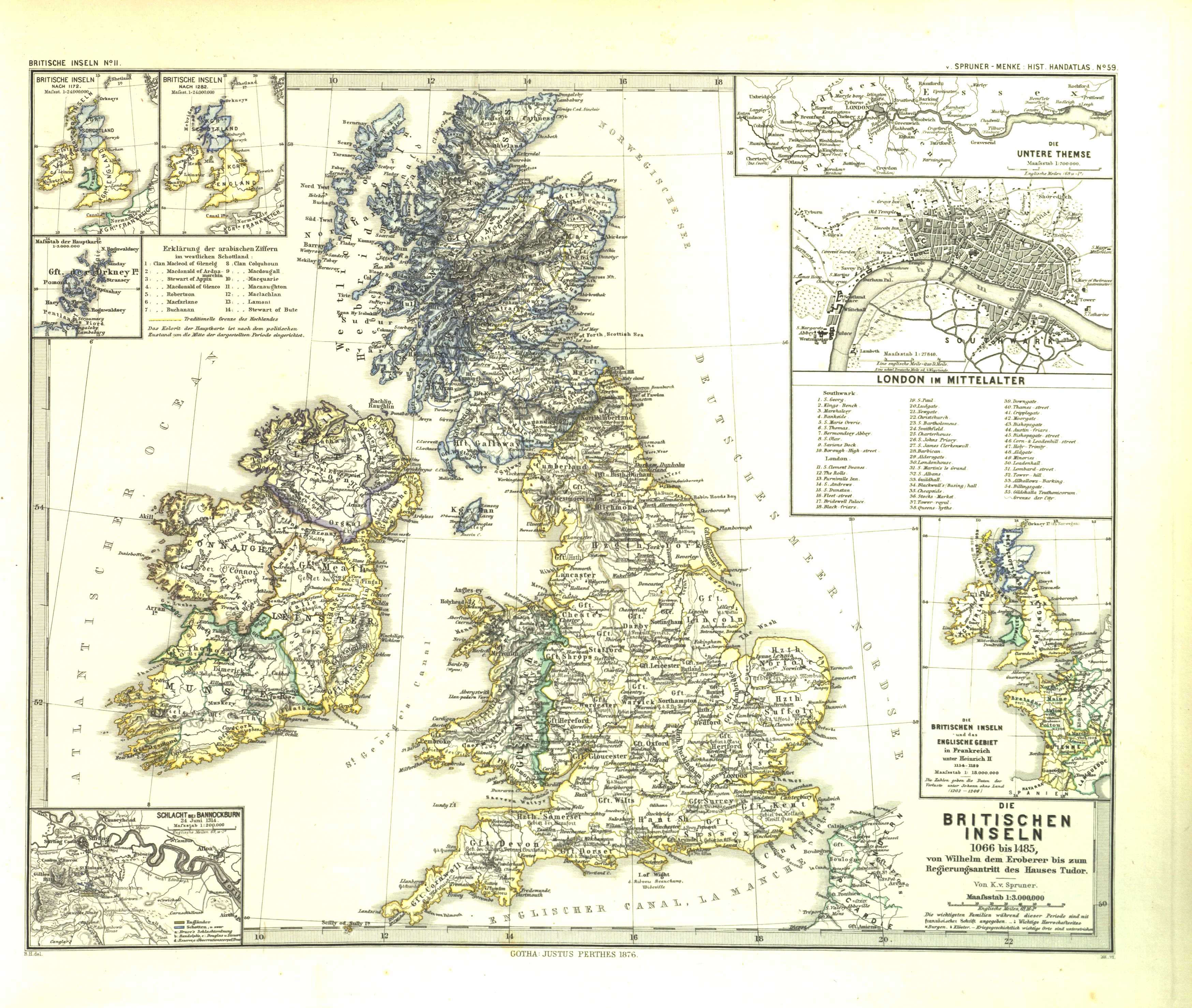
The image shows an old map of the British Isles, with text on the paper detailing the various countries and their borders.
Read full description
The image shows an old map of the British Isles, with text on the paper detailing the various countries and their borders. The map is filled with intricate details, such as the names of cities, rivers, and other geographical features, as well as the major cities and bodies of water. The colors used are mostly shades of blue and green, with some yellow and white accents. The text is written in a classic font, giving the map a timeless quality.