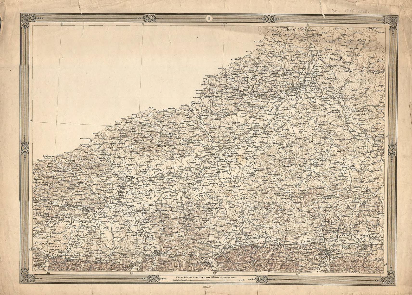
The image shows an old map of the state of Pennsylvania, with the counties of Pennsylvania and New Hampshire clearly visible.
Read full description
The image shows an old map of the state of Pennsylvania, with the counties of Pennsylvania and New Hampshire clearly visible. The map is printed on a piece of paper, with text at the top and bottom of the image. It is a detailed map, showing the roads, highways, and other geographical features of the area.