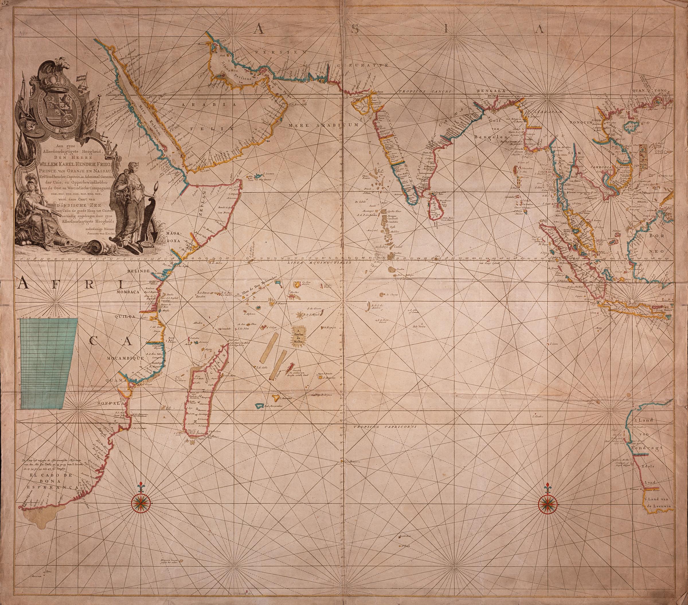
The image shows an old map of the Middle East and Africa, with text and pictures on the paper.
Read full description
The image shows an old map of the Middle East and Africa, with text and pictures on the paper. It is a detailed map, showing the various countries and bodies of water that make up the continent. The colors used are mostly shades of blue and green, with some yellow and red accents. The map is framed by a thin black border, and the text is written in a classic font.