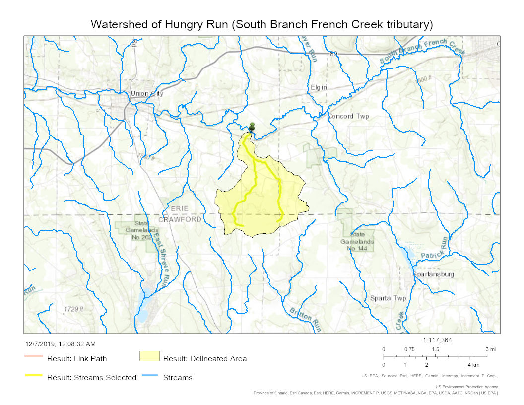
The image shows a map of the watershed of the Hungry Run South Branch French Creek, with text at the top and bottom of the image.
Read full description
The image shows a map of the watershed of the Hungry Run South Branch French Creek, with text at the top and bottom of the image. The map is detailed, showing the various rivers and streams that make up the watershed, as well as the various landmarks and points of interest along the way.