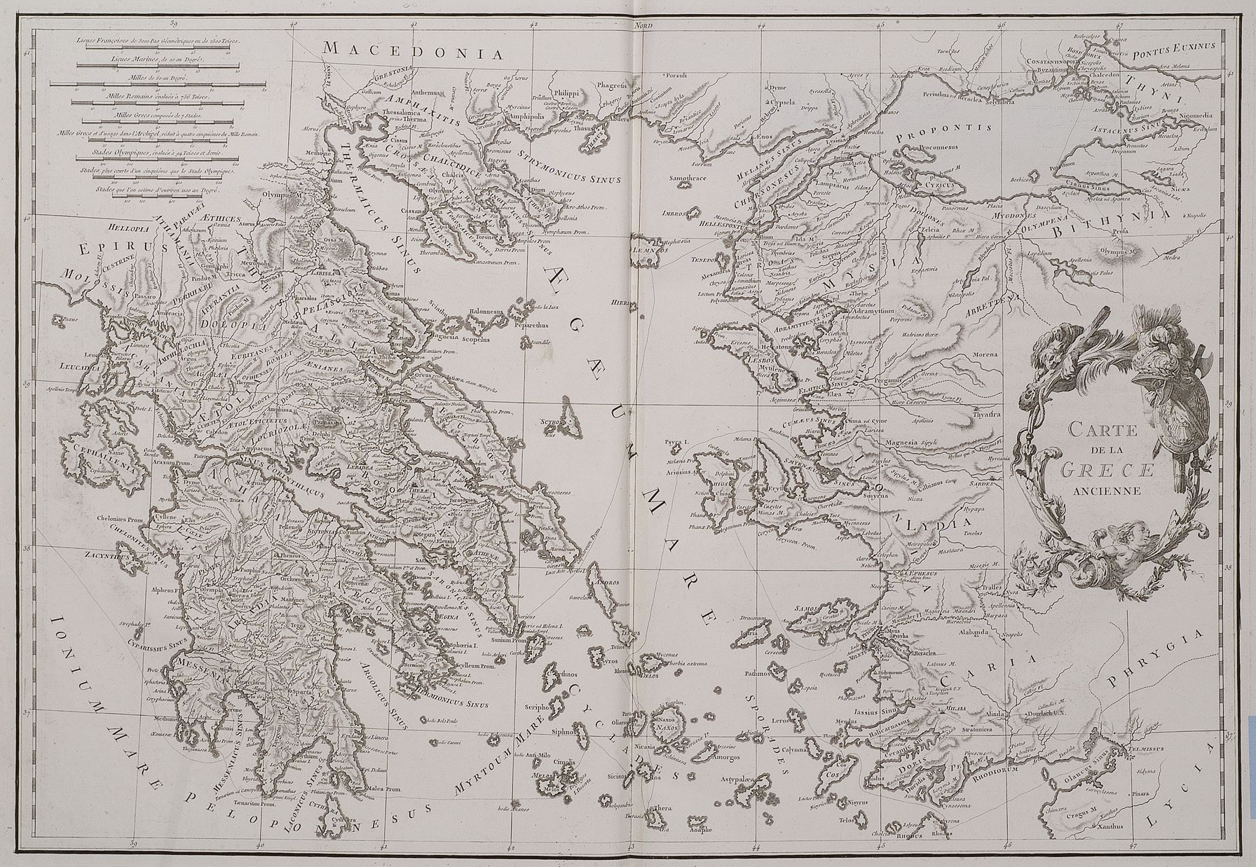
The image shows an old map of the British Isles and the Mediterranean Sea, with text written on the paper.
Read full description
The image shows an old map of the British Isles and the Mediterranean Sea, with text written on the paper. It is a carte de la greece ancienne, a geographical map of Greece and the Aegean Sea. The map is detailed and shows the various geographical features of the region, such as mountains, rivers, and cities. The text is written in a classic font and is surrounded by a decorative border.