← Image collections
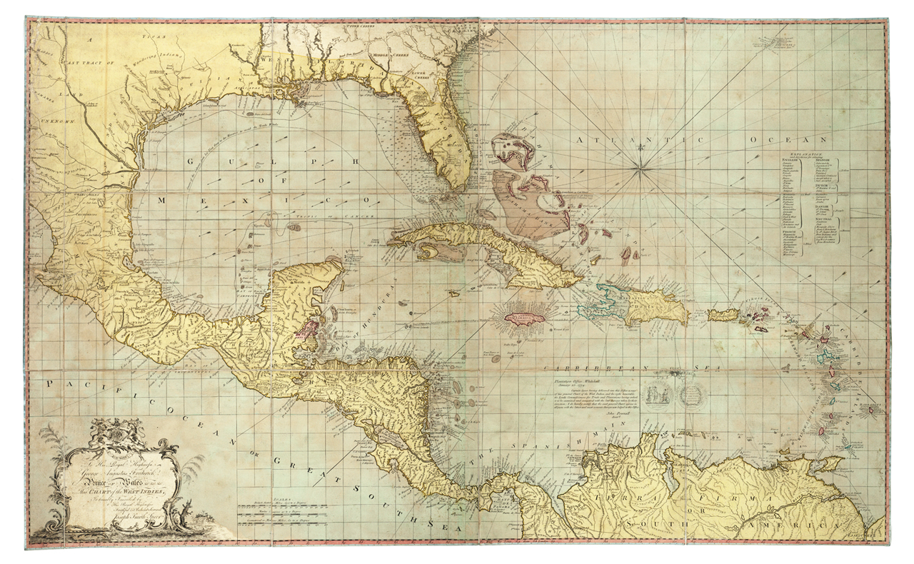
The image shows a map of the British Virgin Islands and the Caribbean Sea, with text at the bottom. It is a detailed map, showing the various islands and bodies of water that make up the Caribbean region. The map is filled with intricate details, such as the names of the islands, their borders, and other geographical features. The colors used are mostly shades of blue, green, and yellow, giving the map a vibrant and lively look.

More from PD12M

The image shows a field with lush green grass in the foreground and a cloudy sky in the background. In the center of the field stands a tall tree, its branches reaching up towards the sky.
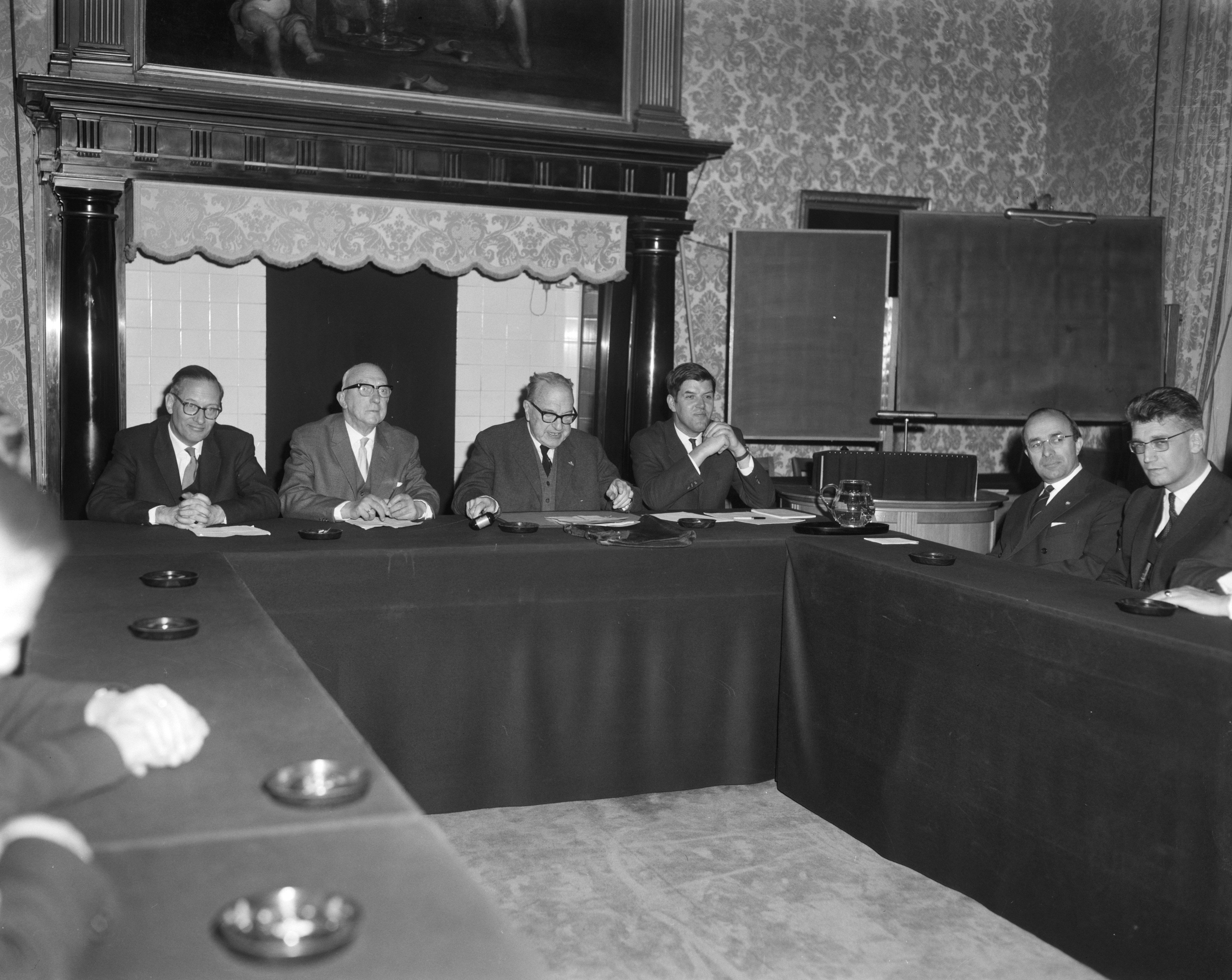
The image shows a group of men sitting around a long table in a room with a wall adorned with a photo frame and curtains in the background. On the table are various objects, and the image is in black and white.
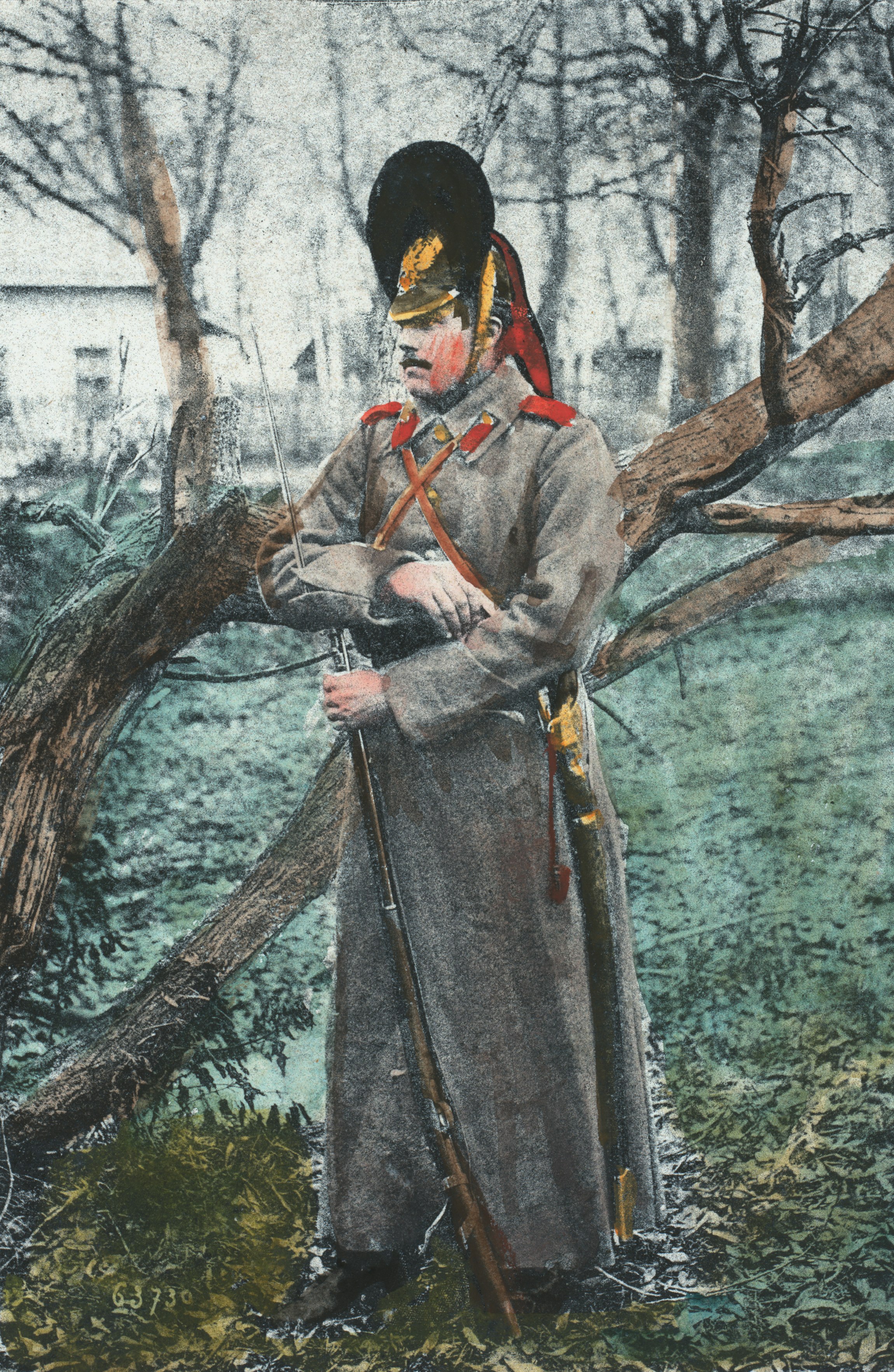
The image shows an old photo of a man in uniform, wearing a cap and holding a rifle, standing in front of a tree with grass on the ground and trees and a building in the background.
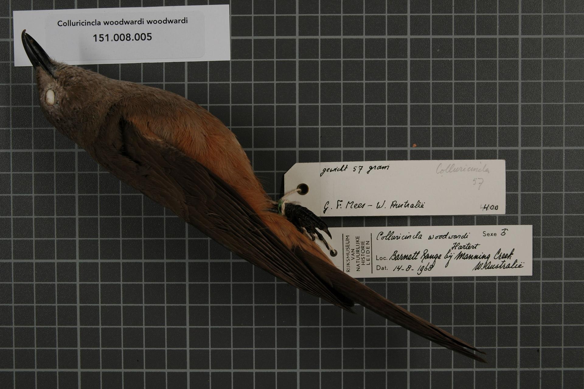
The image shows a collurincinla woodwardi, a bird with a brown body and a black beak, perched atop a piece of paper with text written on it.
The image shows an open book with a map of the British Virgin Islands on a black background. The map is detailed and shows the various islands and bodies of water that make up the island.
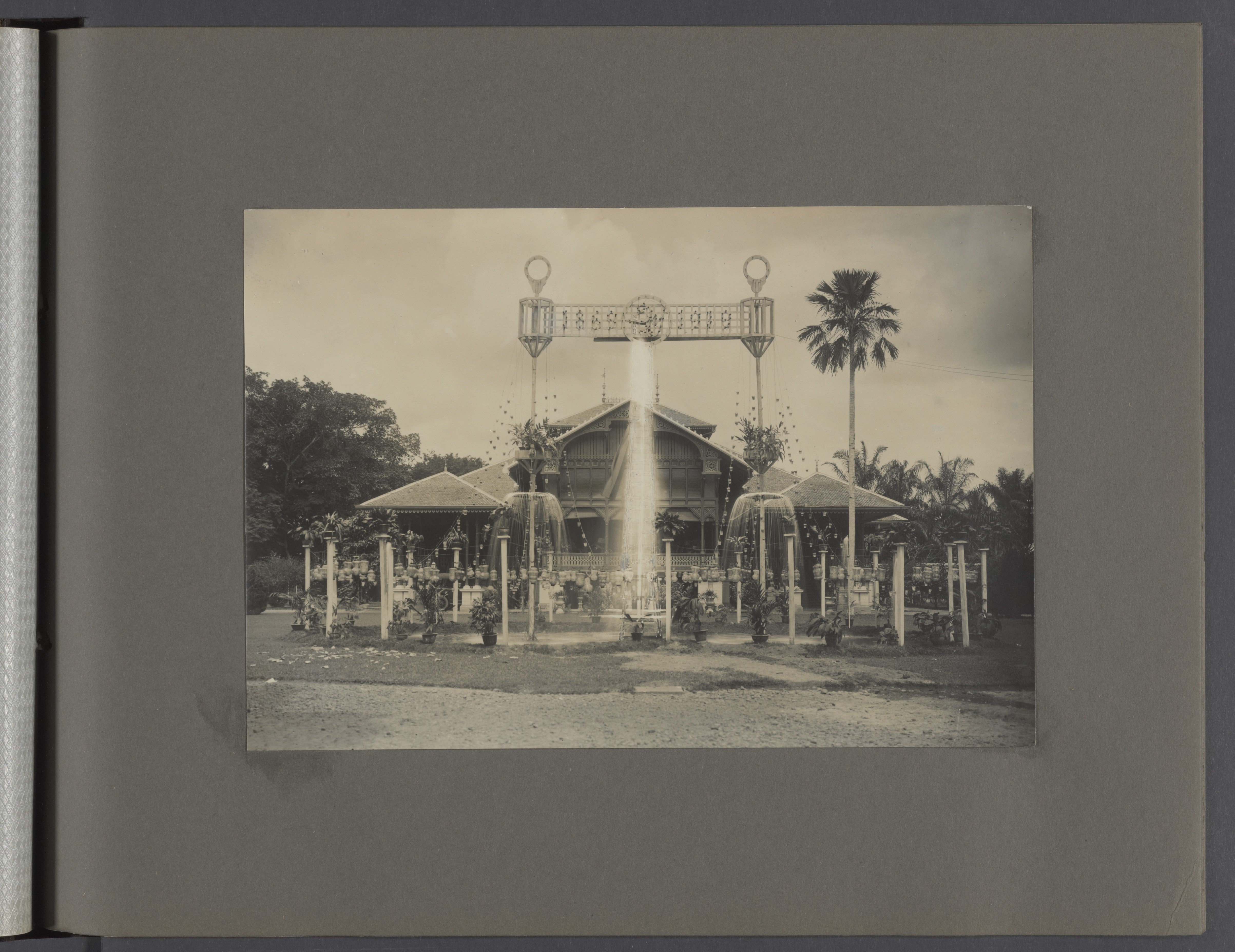
The image shows a black and white photo of a building with a fountain in front of it, surrounded by trees and a clear sky.
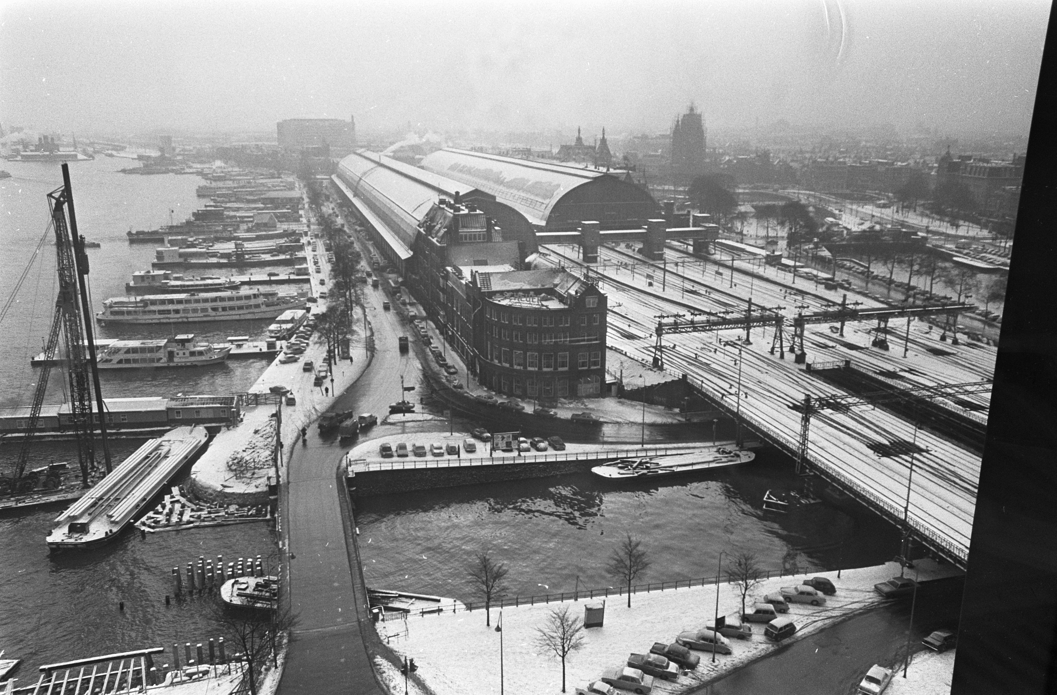
The image shows a black and white photo of a city with a train on the tracks, a bridge, vehicles on the road, poles, trees, buildings, ships on the water, and a sky in the background.
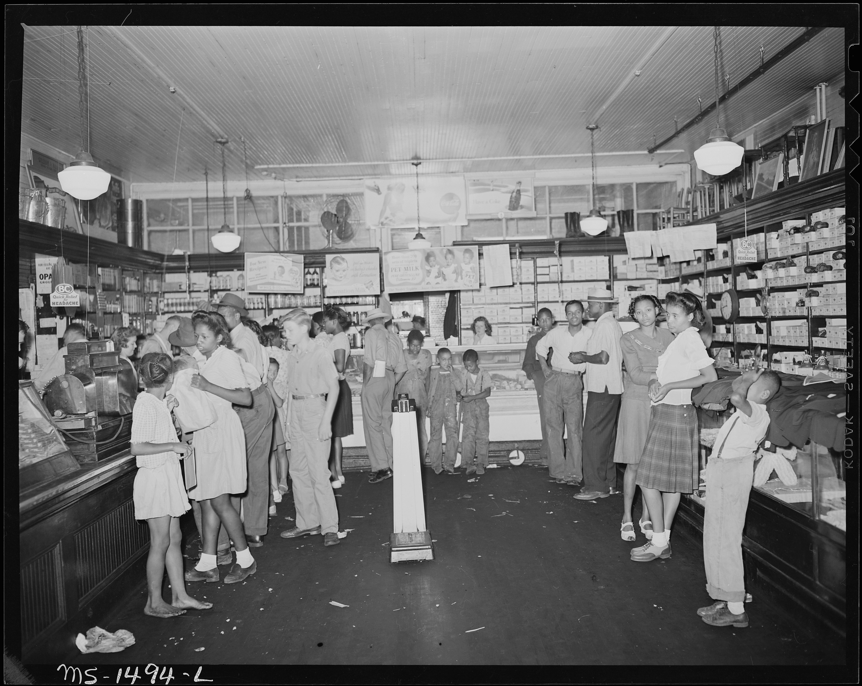
The image shows a black and white photo of a group of people standing in a store. On the left side of the image, there is a countertop with various objects on it. In the background, there are shelves filled with items and lights hanging from the ceiling.
Explore collections