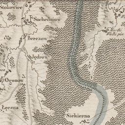
The image shows a map of the British Empire in the 16th century, depicting the extent of the River Thames.
Read full description
The image shows a map of the British Empire in the 16th century, depicting the extent of the River Thames. It is a detailed map, showing the various cities, rivers, and other geographical features of the region. The text on the map provides further information about the region, such as the names of the cities and the distances between them.