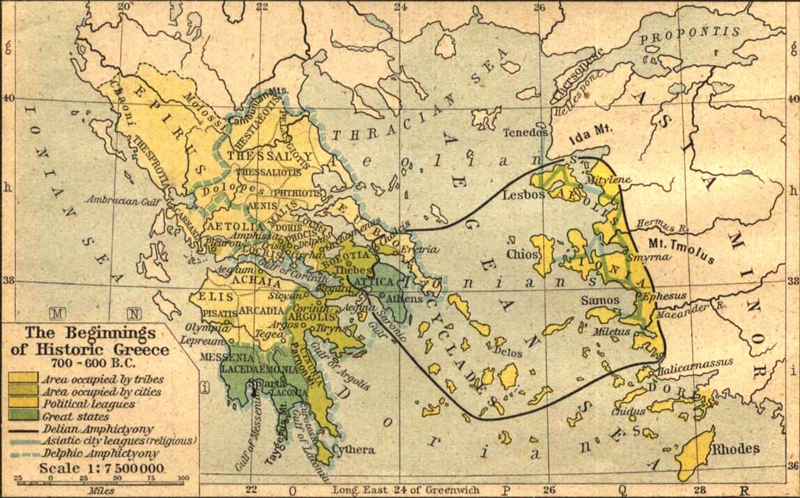
The image shows a map of the beginning of the Greek Empire, with text and numbers indicating the extent of the Roman Empire.
Read full description
The image shows a map of the beginning of the Greek Empire, with text and numbers indicating the extent of the Roman Empire. It is a detailed map, showing the various cities, towns, and other geographical features of the region. The colors used to differentiate the different regions are vibrant and the labels are clearly visible.