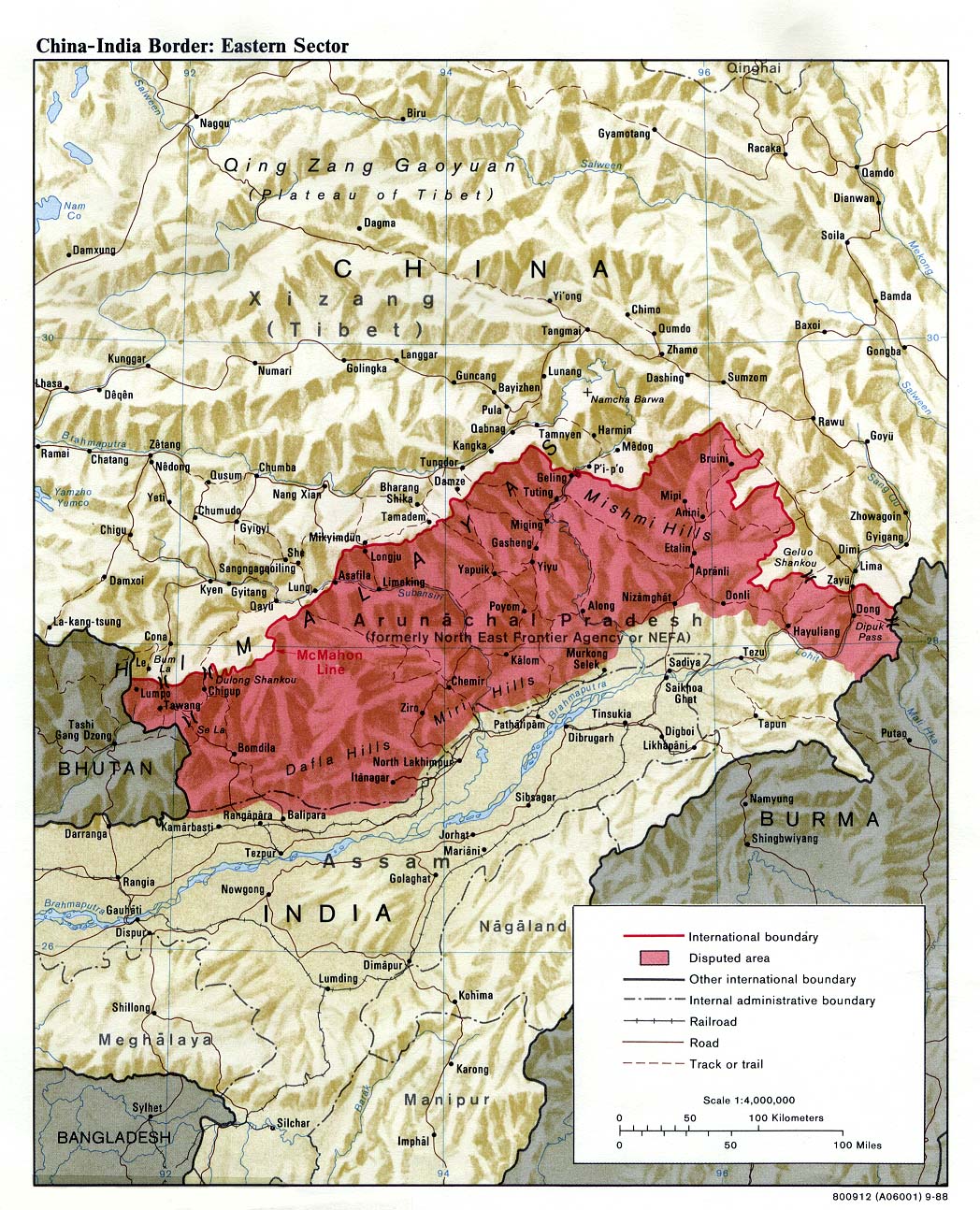
The image shows a poster with a map of India, highlighting the borders of the Eastern region.
Read full description
The image shows a poster with a map of India, highlighting the borders of the Eastern region. The text on the poster provides further information about the region, such as its major cities, rivers, and other geographical features. The map is color-coded to indicate the different regions, with darker colors representing higher elevations and lighter colors representing lower elevations.