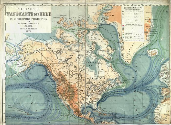
The image shows an old map of the British Isles from 1874, depicting the physical map of Scandinavia.
Read full description
The image shows an old map of the British Isles from 1874, depicting the physical map of Scandinavia. The map is filled with intricate details, such as rivers, mountains, and cities, and is accompanied by text that provides further information about the region.