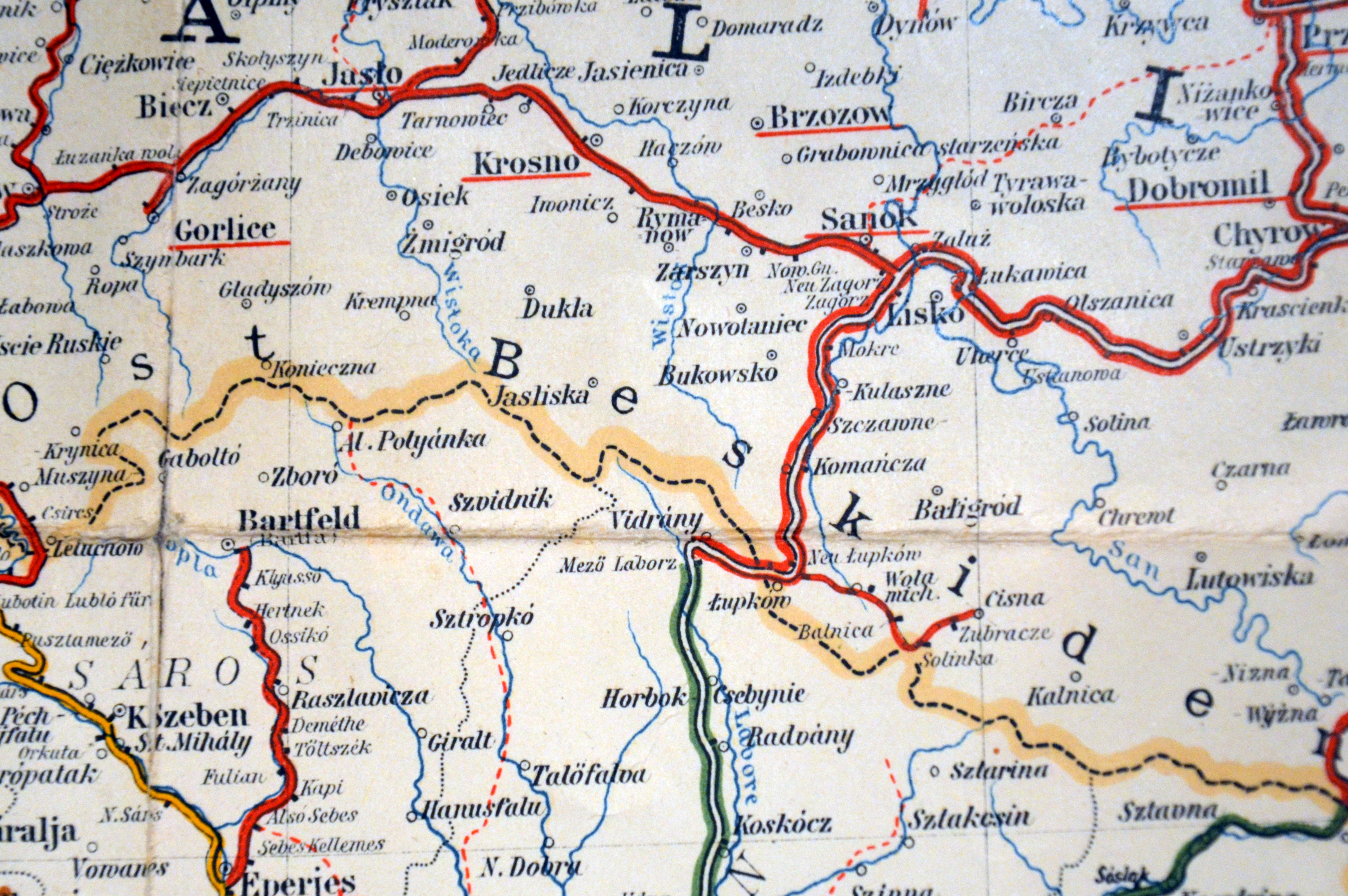
The image shows a map of the Czech Republic with a red line running through it.
Read full description
The image shows a map of the Czech Republic with a red line running through it. The map is detailed and shows the various cities, towns, and other geographical features of the country. The red line is a visual representation of the route, while the black lines indicate the various points of interest along the way.