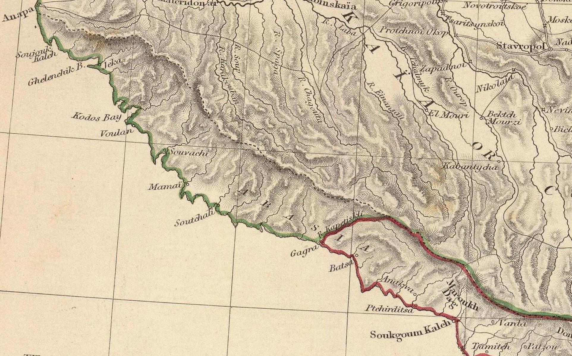
The image shows an old map of the British Columbia region with a red line running through it.
Read full description
The image shows an old map of the British Columbia region with a red line running through it. The map is detailed and shows the various geographical features of the region, such as mountains, rivers, and cities. The red line is likely a representation of a river or stream running through the region.